During our first few months in Auckland we enjoyed getting out and about in the weekends exploring the areas close by: the Waitakere ranges in the west of Auckland is a favourite of ours, while the Coromandel to the east has some of the most beautiful beaches in the country. We had also explored a little bit of Northland, going as far as Kauri country after a camping trip gone wrong turned into a road trip exploring Northland’s west coast. We were keen to see more of Northland, it being one of the few regions left in New Zealand that we haven’t had a good old road trip through yet. So when Easter came around in April and we found out that ANZAC day was falling only a few days after the Easter weekend we decided to take full advantage of this gift from the public holiday gods and took three extra days off. All of a sudden our Easter weekend became a 10 day holiday!
Surprisingly we didn’t rush off on Good Friday. The weather was foul the first couple of days and we didn’t feel like sitting in a traffic jam heading out of Auckland. Traffic jams on public holidays in Auckland are ten times worse than the normal everyday and weekend traffic jams so we thought ‘no way Jose’!
We started off with a couple of nights in the Bay of Islands in Russell (about three and a half hours north of Auckland). Russell was the first permanent European settlement and sea port in New Zealand. It had a reputation of the “hell hole of the Pacific” as it was a bit of a rough town back then. It was however an important trading centre as whaling and sealing operations anchored and resupplied from here. When the Treaty of Waitangi was signed in 1840 in nearby Waitangi which is across the bay, Russell was ignored as a potential capital due to its reputation. Instead a small town called Okiato was chosen as New Zealand’s first capital. We drove through this ‘dot’ on the map and we can see why they later moved the capital to Auckland (and then Wellington)!
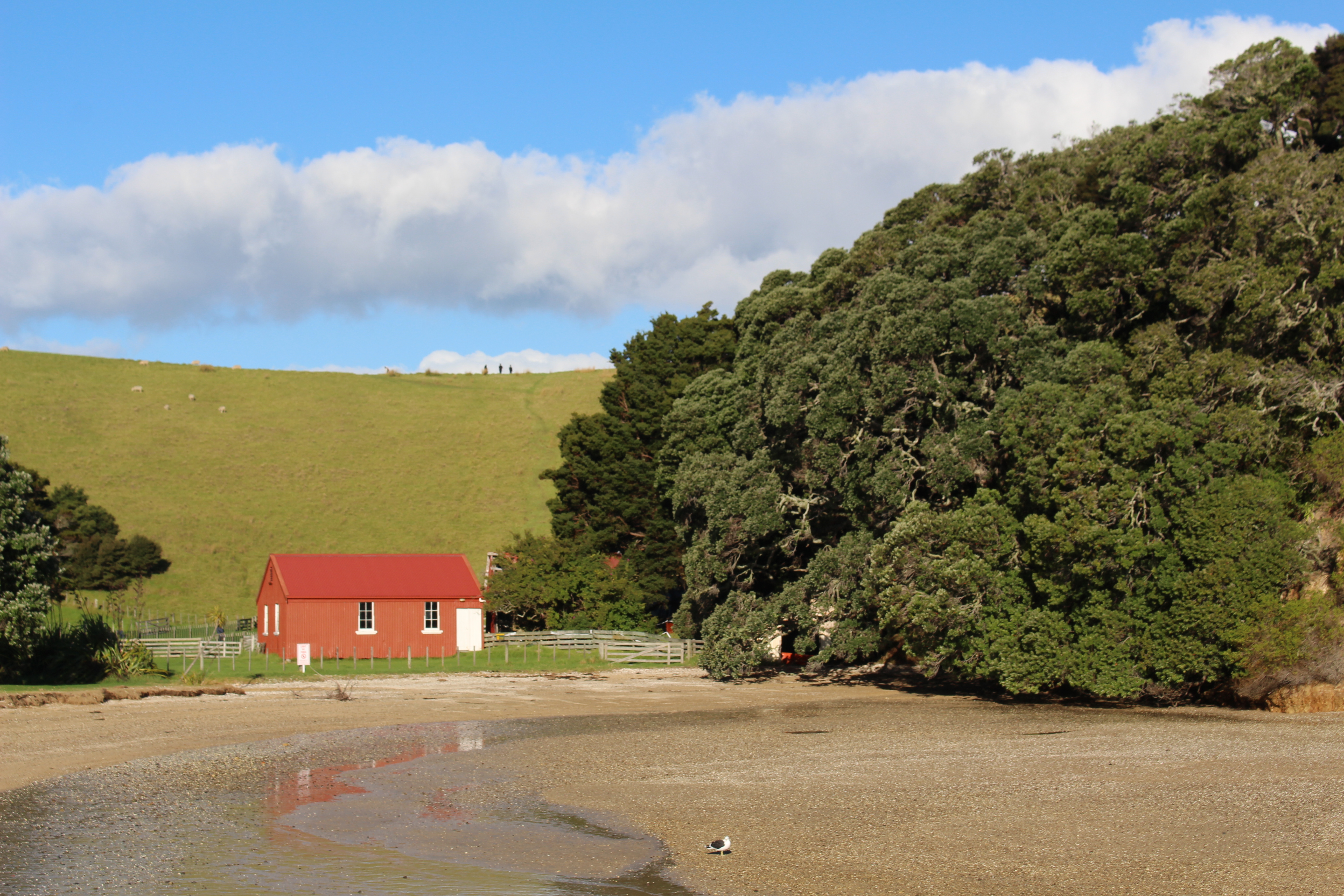
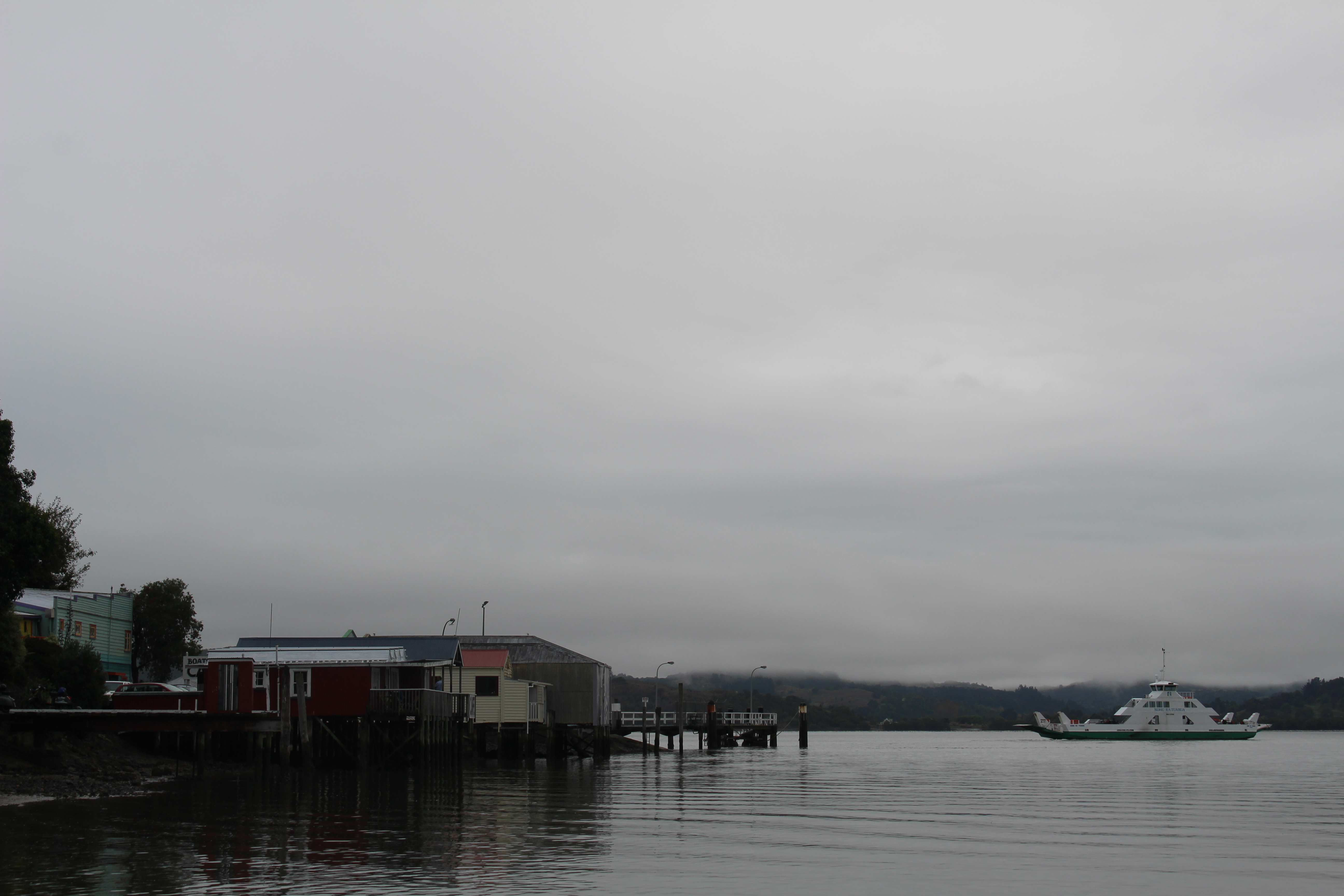
While Russell may have been a rough and ready town 175 years ago, today it is a quaint seaside town, a mix of a little bit posh and a little bit local. There are people with a lot of money living in extravagant baches but there are also locals with normal Kiwi houses and the majority of the economy obviously survives because of tourism. It’s a pretty little town with a bit of history. Strolling around, you can see some of the first buildings in New Zealand. While age-wise this isn’t too significant, there is a nice feeling of history here.
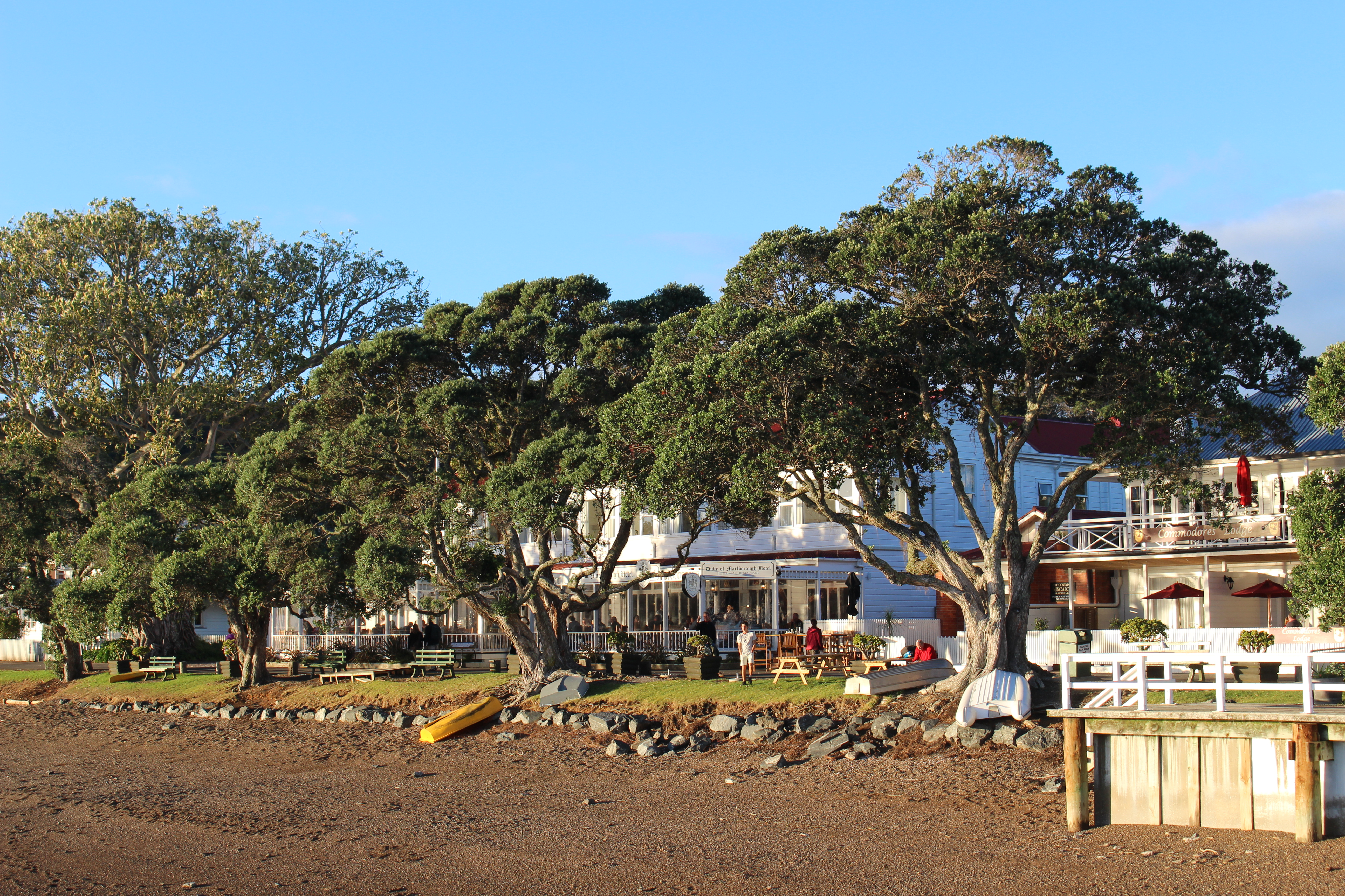
Beachfront of historic Russell.
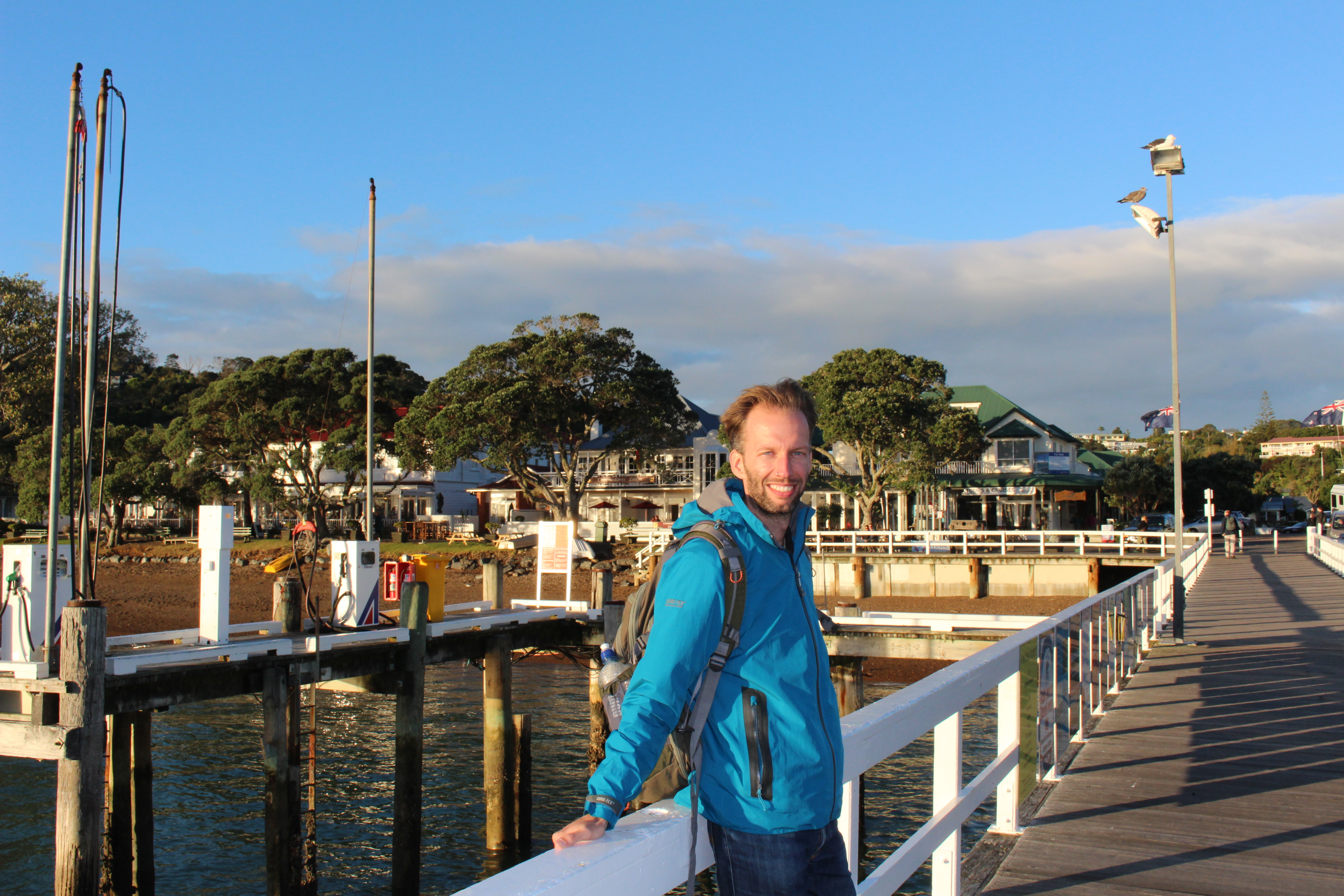
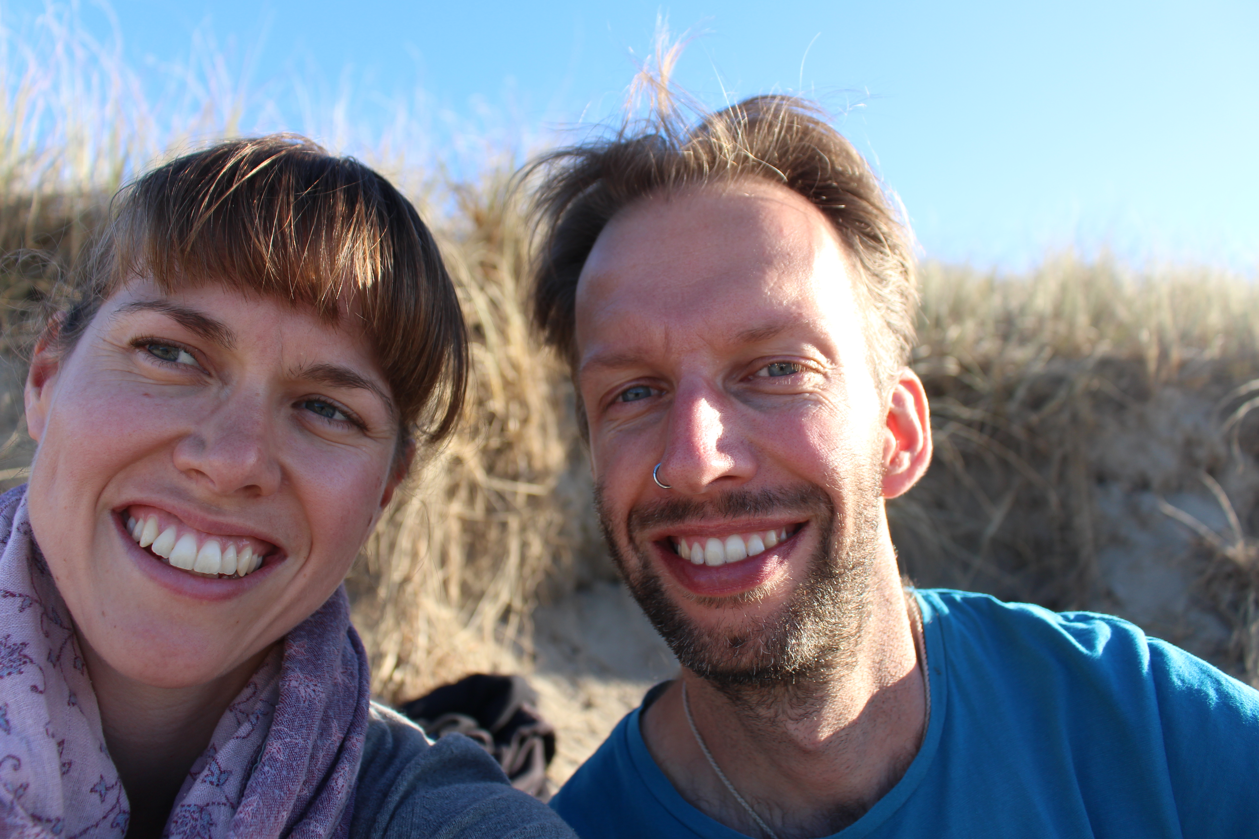
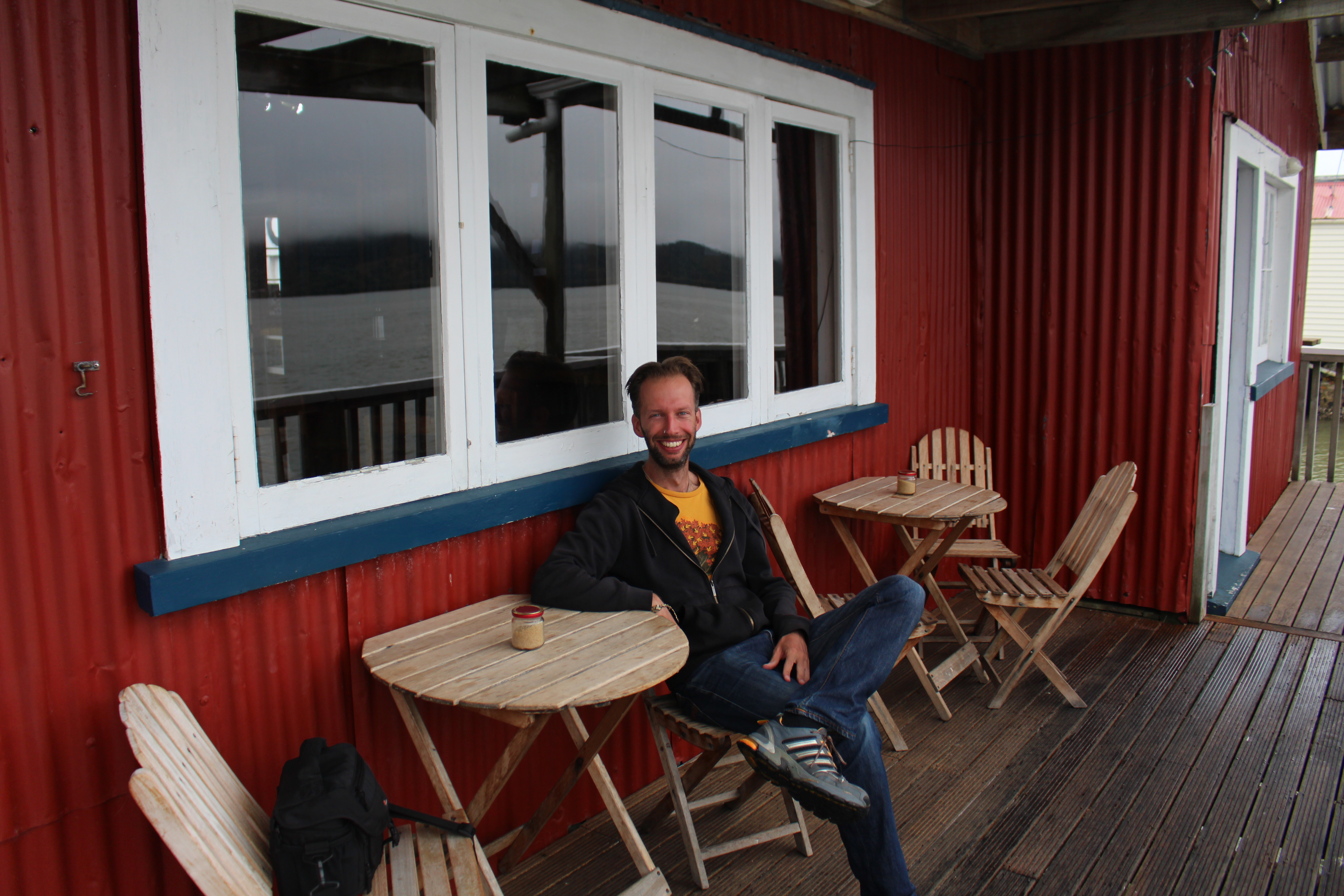
Richard on the wharf.
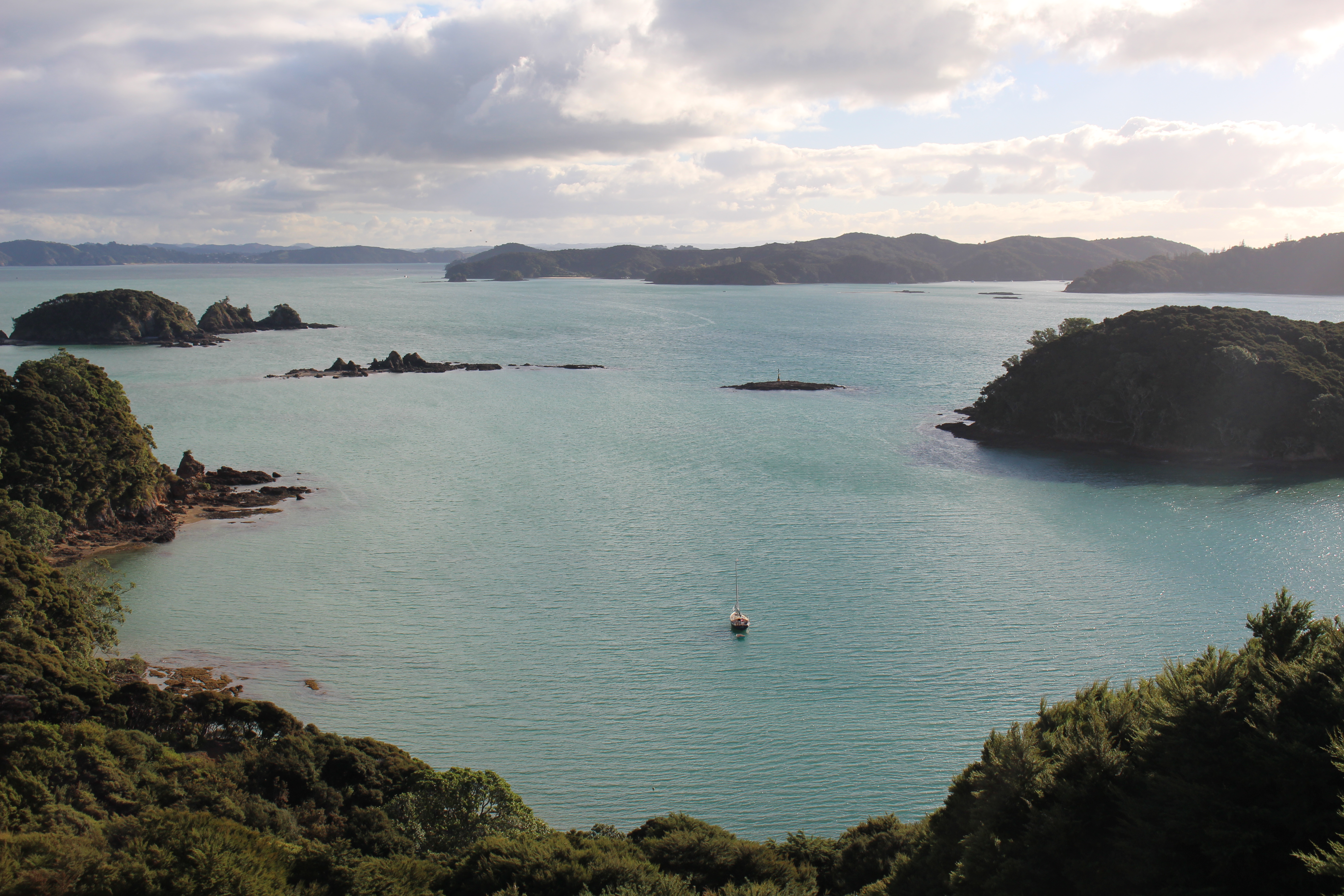
The one thing you must do when you visit Russell is go on a boat cruise sightseeing dolphins and a ‘hole in the rock’. Richard did in 2008 (and that time he saw orcas). It was my first time visiting the area and he was happy to do the cruise again. So like true tourists we spent an afternoon cruising around the beautiful Bay of Islands snapping hundreds of photos of dolphins (once we finally found some). The highlight of the afternoon was a stop over on Urupukapuka Island which is managed by DOC (Department of Conservation). It is possible to camp on the island, and we could definitely see ourselves going back for a trip sometime. The hills and the many private bays look like an idyllic place to while away a couple of days.
View from one of the hill tops on Urupukakapuka Island.
Bay on the island.
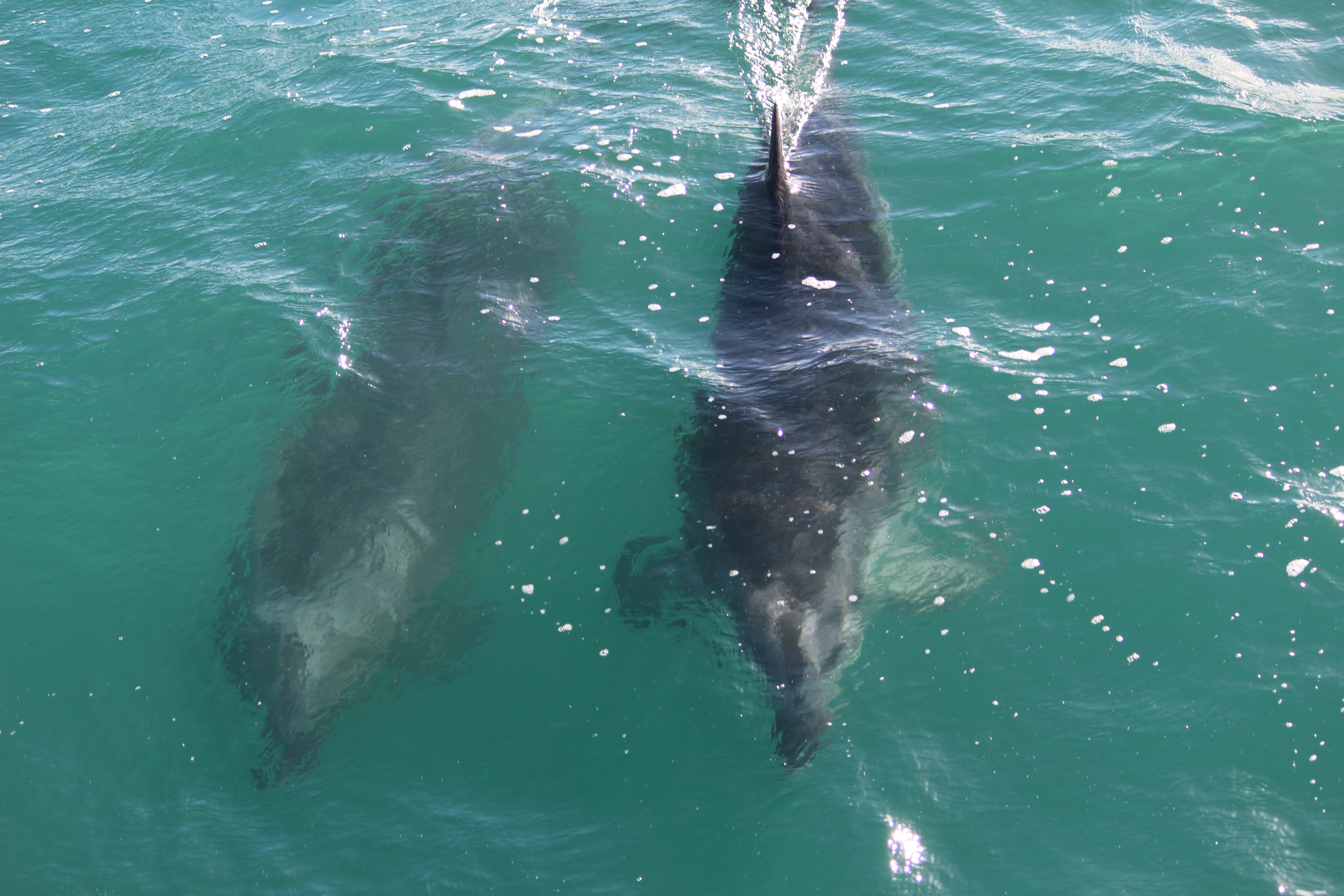
Dolphins!!
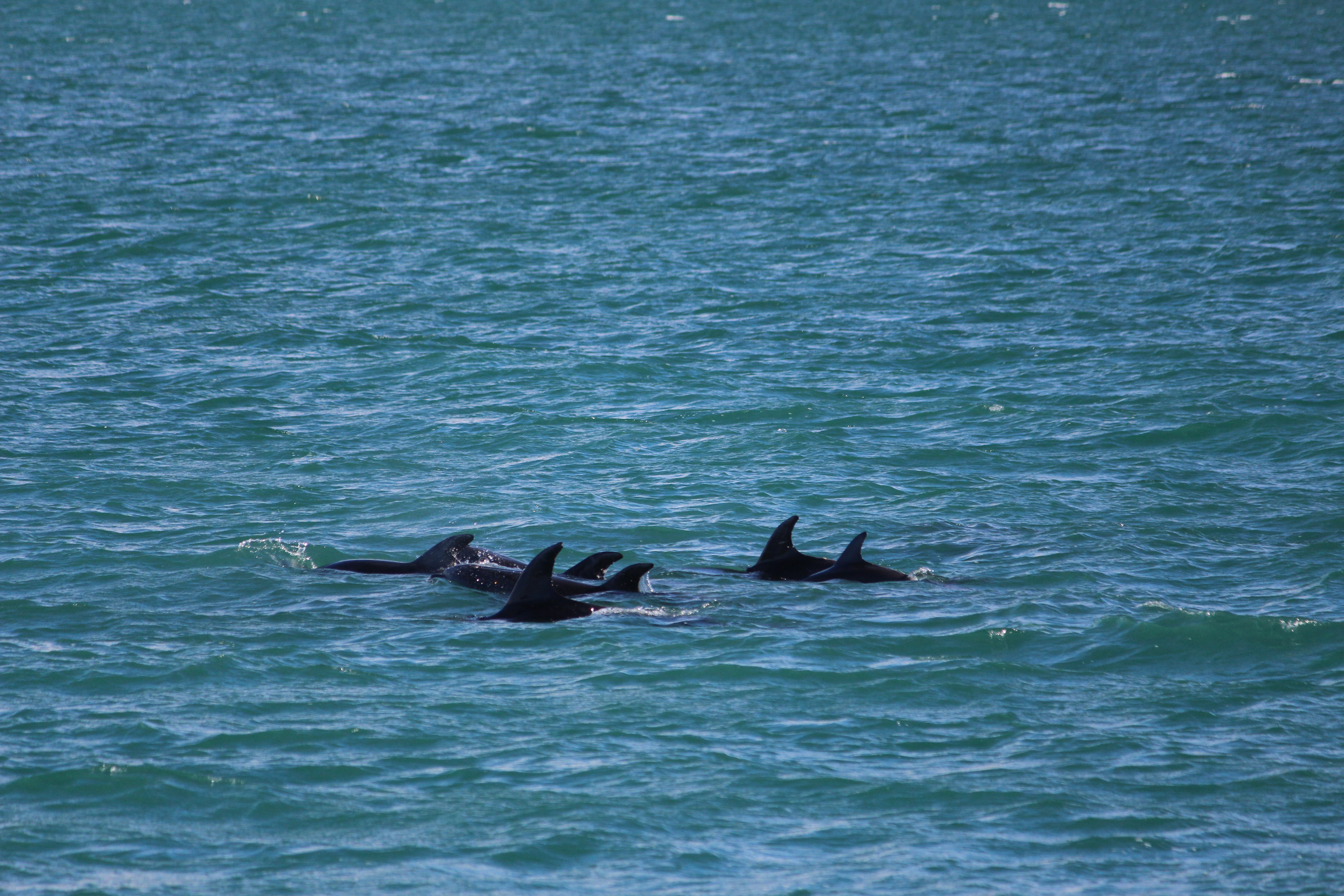
Pod of dolphins.
From Russell we followed the highway up the east coast. Firstly we made a stop off at the beach resort town of Paihia which isn’t that special, just a busy holiday town with a lot of accommodation for Aucklanders. From there we visited the beautiful historic grounds of Waitangi, the site where New Zealand’s founding document the Treaty of Waitangi was signed between representatives of the English Crown and 40 chiefs of Maori tribes on 6th February 1840. It was essentially the first document that established British authority in New Zealand and allowed the process of British colonisation to begin. After the Treaty was signed at Waitangi copies of it were taken around the rest of the country and signed by more chiefs, so that in total over 540 chiefs signed the Treaty. There were two versions of the Treaty, one in English and one in Maori and needless to say the Maori version had some issues with its translation which was translated hurriedly and in a matter of days. This resulted in some important misinterpretations with translating the document which are still being resolved today.
The grounds are beautiful – spacious, lush, with beautiful views over the Bay of Islands. The information displayed recount the events that led up to the signing of the Treaty in a lively and informative manner. The highlight for us was wandering around James Busby’s house which was basically a shack in the early days and later had extension upon extension built onto it. It sounded like life was not only hard but also mean and we felt a bit sorry for Busby who as the British Resident had the title but not the means or the support to help carry out law and order in New Zealand in its rough early days.
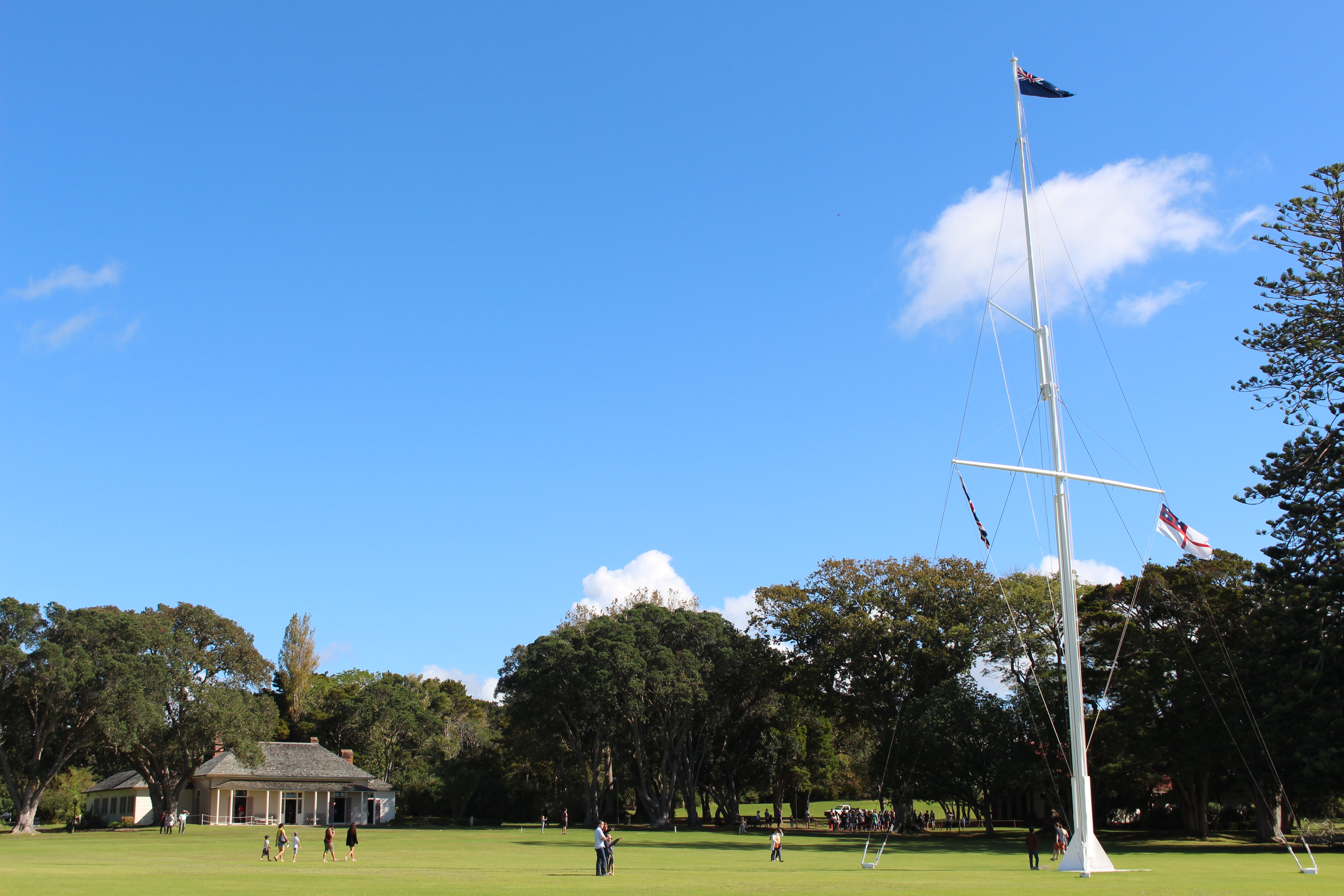
Waitangi grounds.
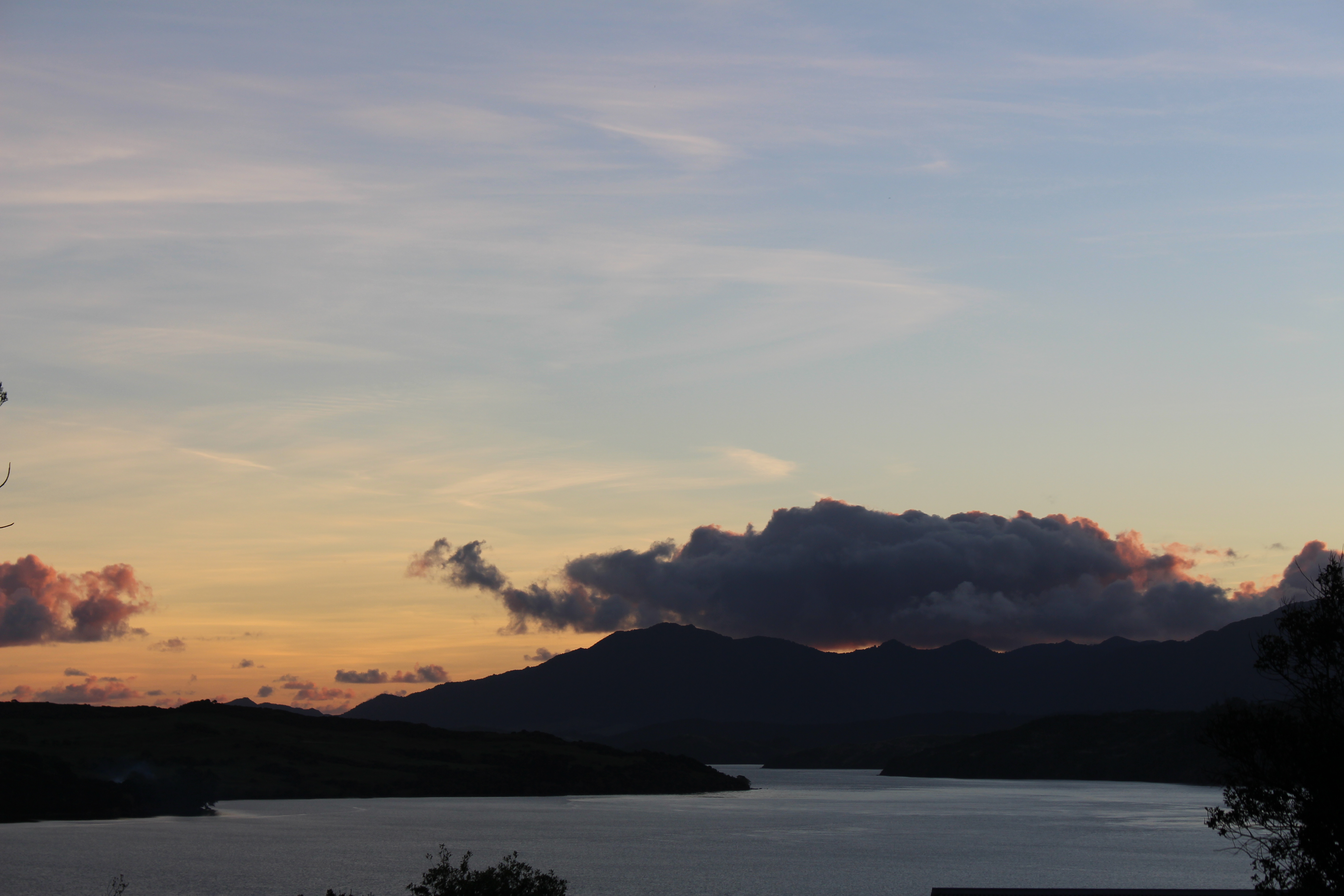
After Waitangi we drove to Kerikeri a small town in Northland which was pumping for a Wednesday. We had a quick curry lunch and then had a leisurely afternoon driving and discovering more of Northland’s beautiful bays and beaches. We made a detour for the small fishing town of Mangonui which is famous for having the ‘best fish and chips shop in New Zealand’. With the day drawing to an end it was time to make some kilometres to our night’s camping spot at Matai Bay, a DOC campsite on the Karikari Peninsula. Climbing up the hill which sheltered the campsite one is greeted with a view of a perfectly formed bay. It was a bit too late in the afternoon for a swim so we drank a couple of ciders on the white sandy beach and watched a cheeky group of boys playing in the sand, building and smashing each others sandcastles. It was a chilly night camping by the beach, it being quite late in the season. Still we were happy to be outside and camping in late April. The next morning we woke up early to watch the sunrise. It was chilly but the sunrise was stunning. It was a peaceful way to start the day, watching the darkness disappear and the colours in the sky change from deep red, orange, to blazing yellow.
A couple of ciders on the beach… overlooking the bay, what a way to finish off a day of driving.
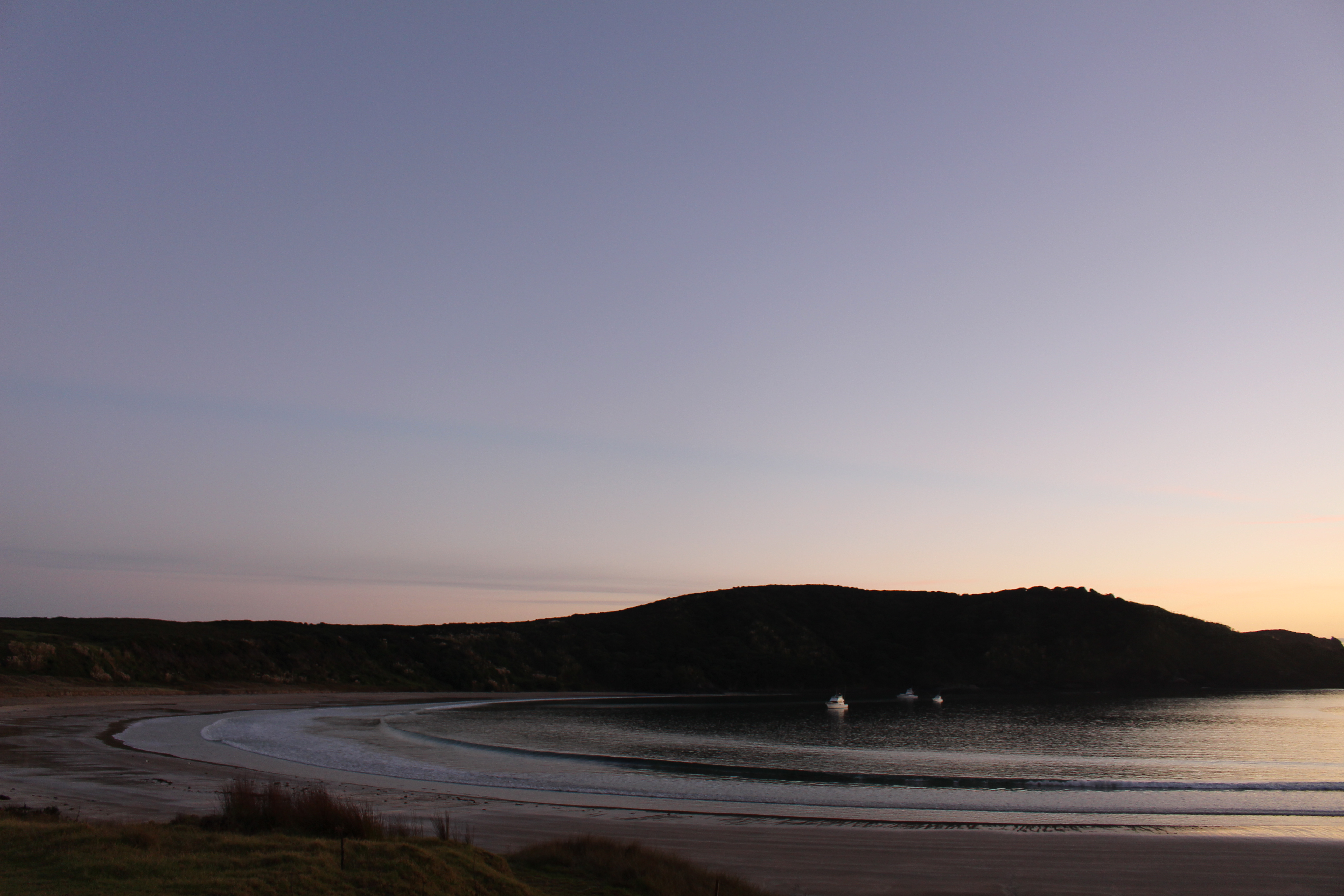
First light over Matai bay begins… it’s still darkness.
Sky is changing.
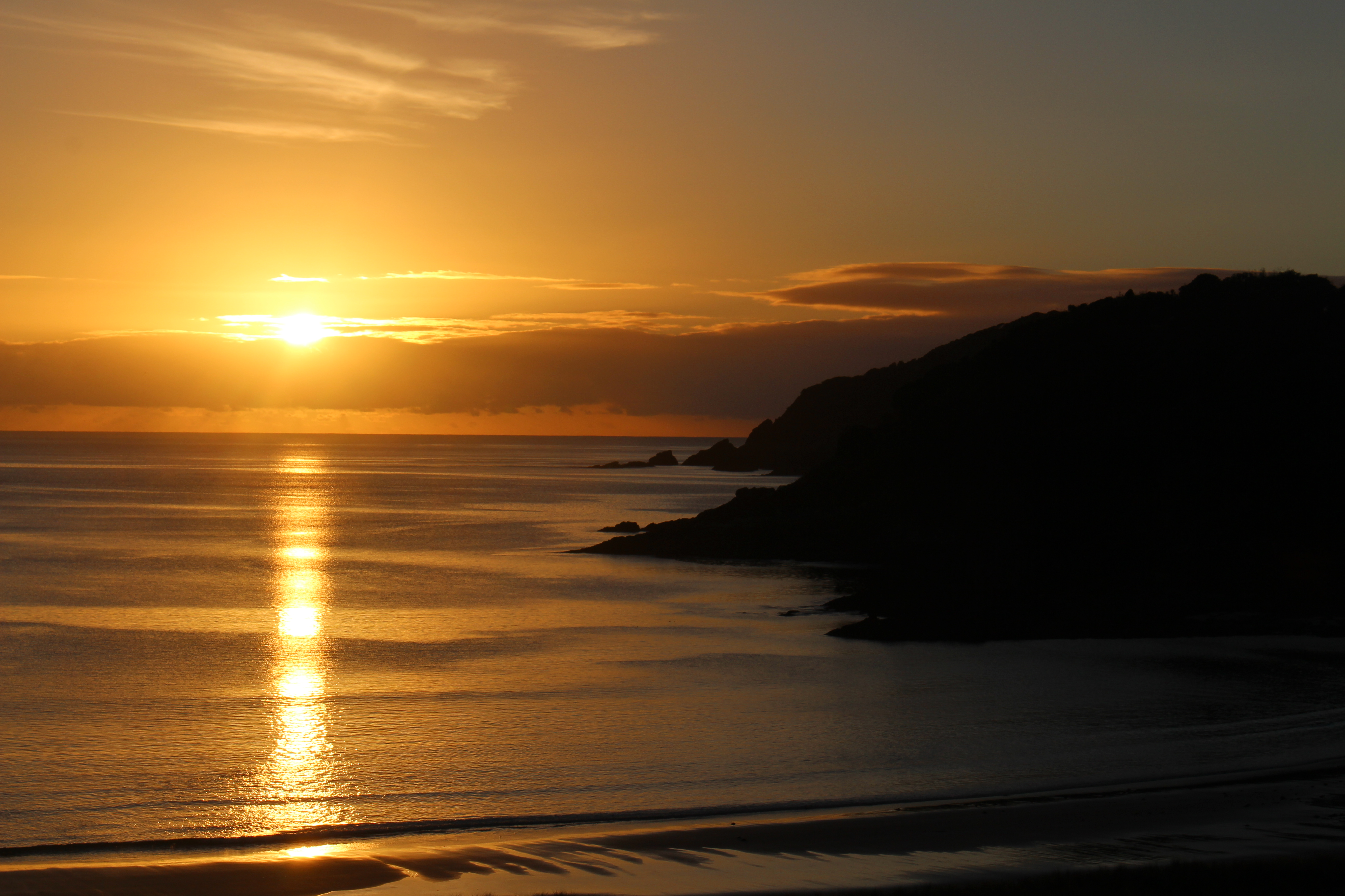
Magical sunrise.
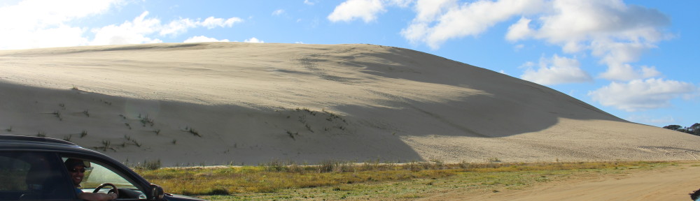
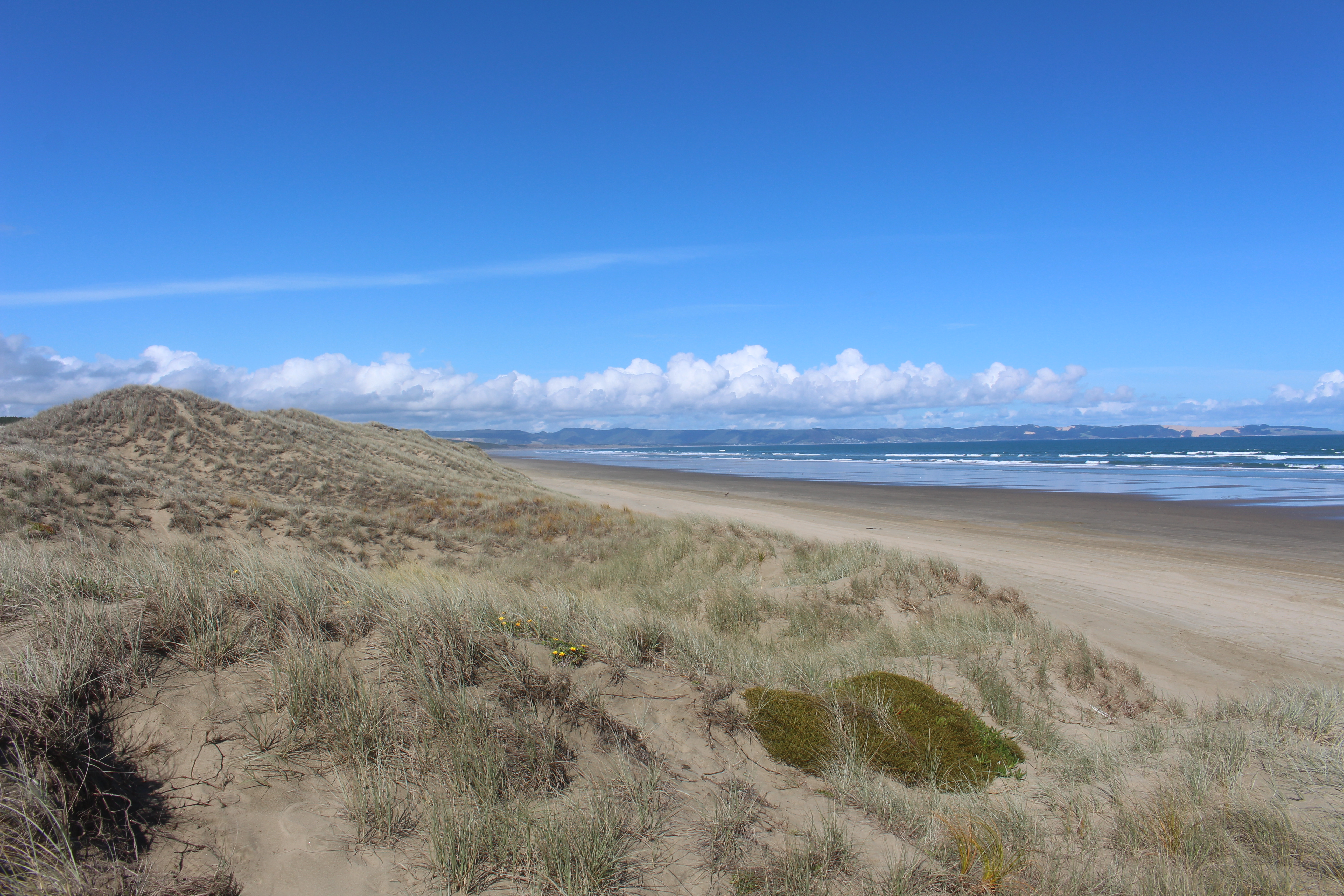
From here it was time to make our way up to the top of the north island, to Cape Reinga for a couple of nights camping. Not unlike the day before we were in for another action packed day which included sand boarding down the massive Te Paki sand dunes and lunching, swimming and playing on another long white sandy beach (Rarawa beach). We made camp at Tapotupotu beach, another beautiful bay at the top of the North Island. It was the most perfect campsite. We pitched our tent under a tree, set up our camping chairs and drank wine and ate dinner while looking out at the sun setting over another beautiful bay. We were definitely enjoying a lot of sunrises and sunsets during this road trip!
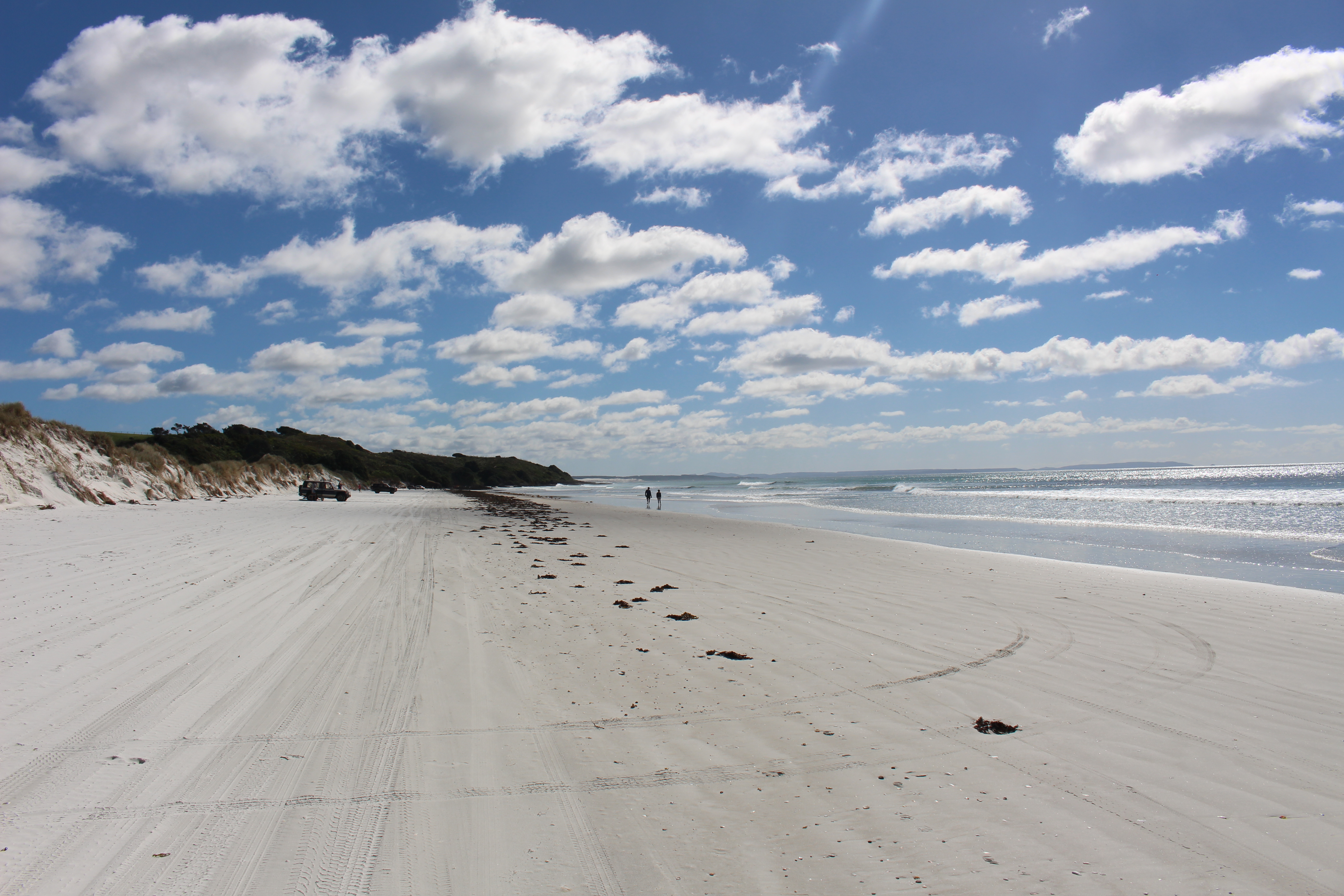
Rarawa Beach and it’s long strand of fine white sandy beach.
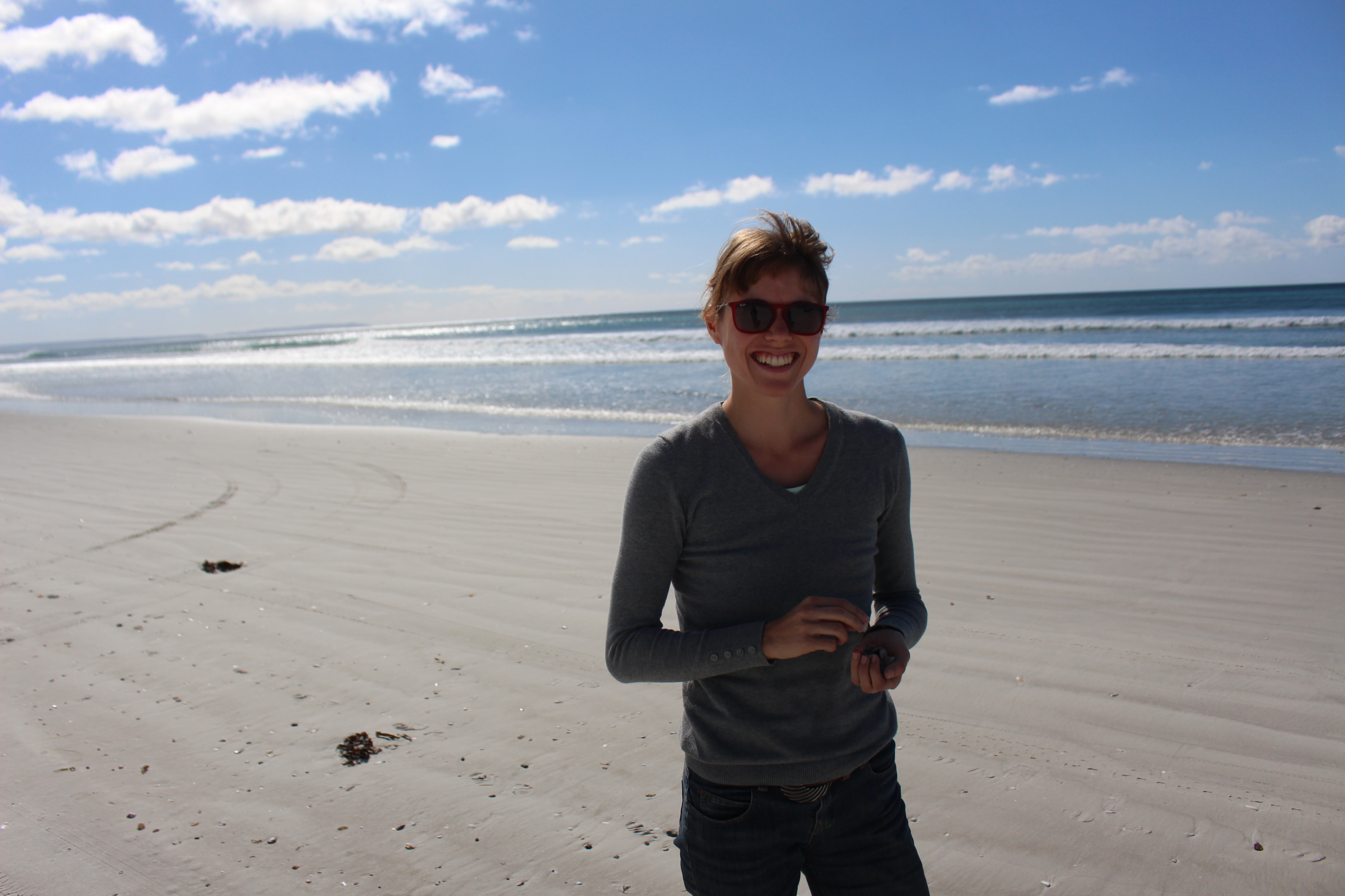
Combing for sea shells whenever we happened upon a nice beach!
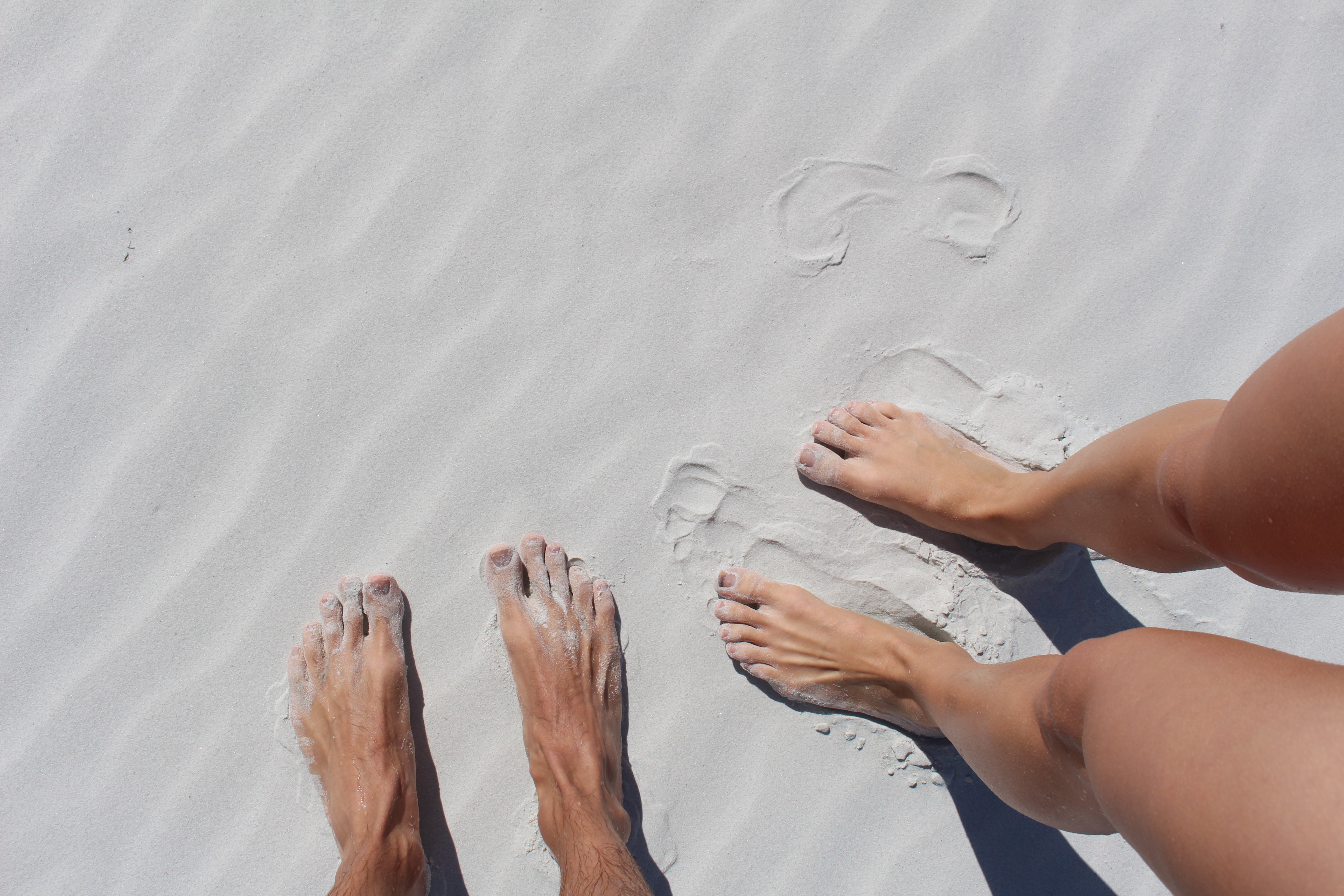
Sandy feet!
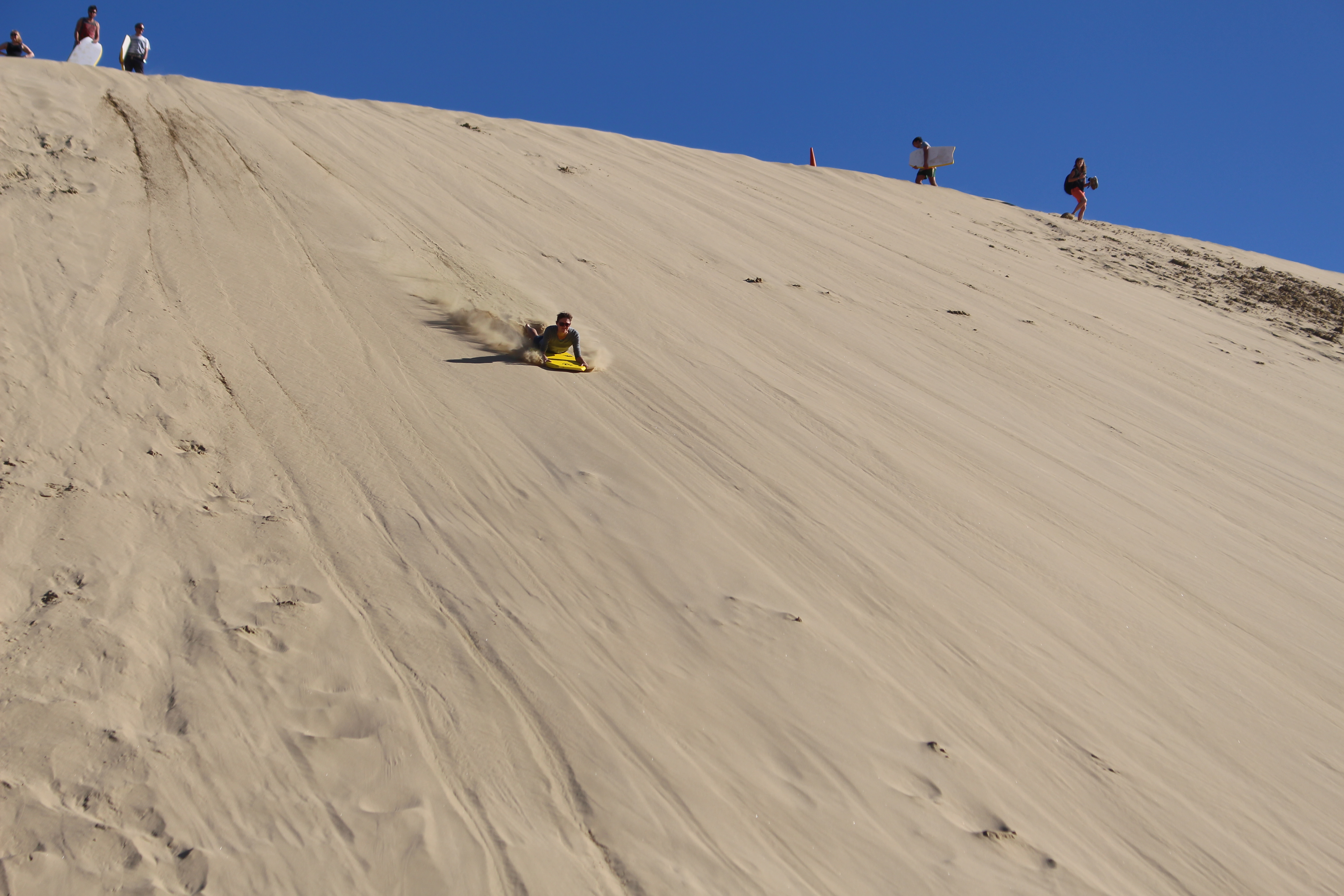
The one thing you have to do when you go to the Te Paki sand dunes is rent a boogie board and sand board down the dunes. So much fun!
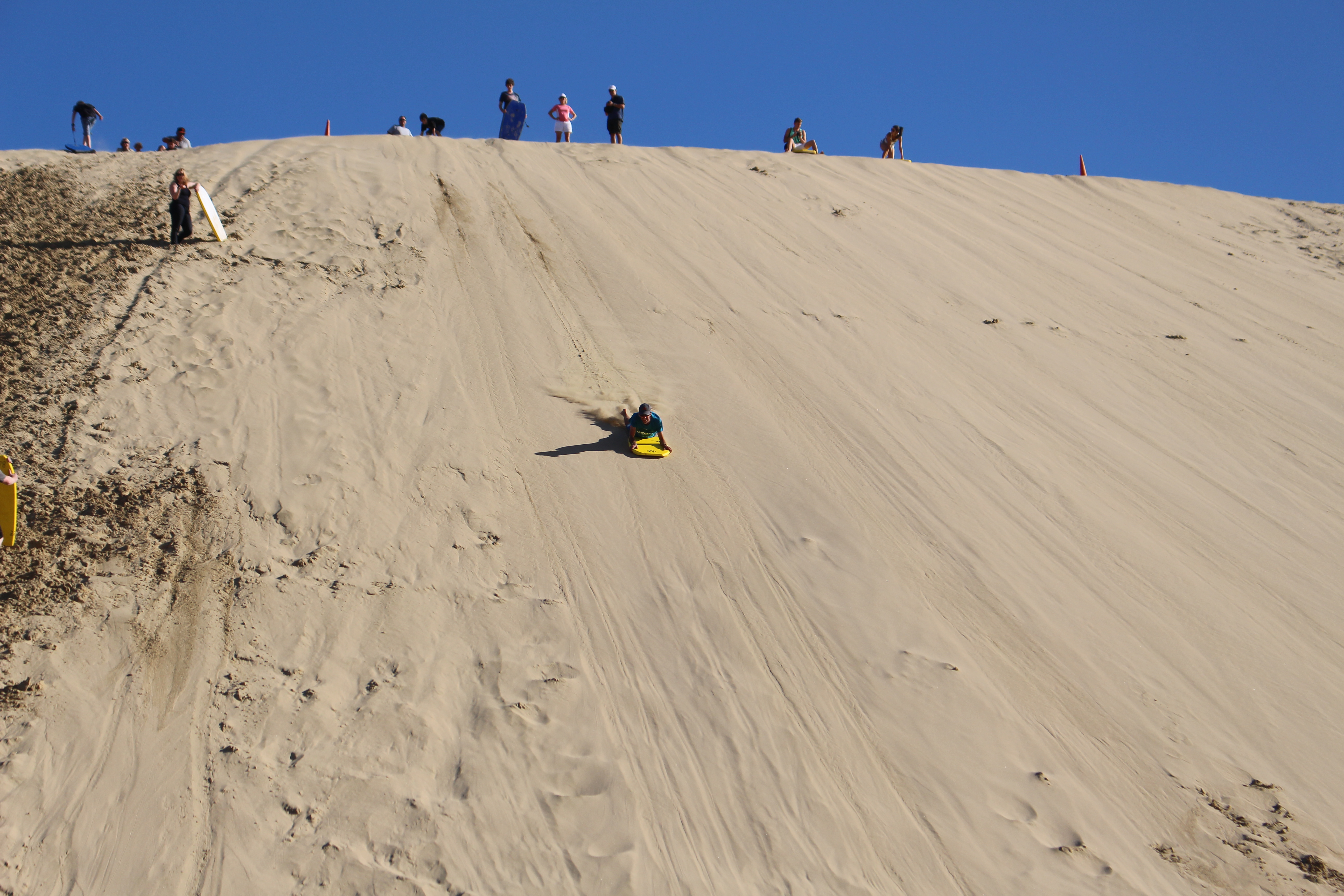
Richard powering down the hill!
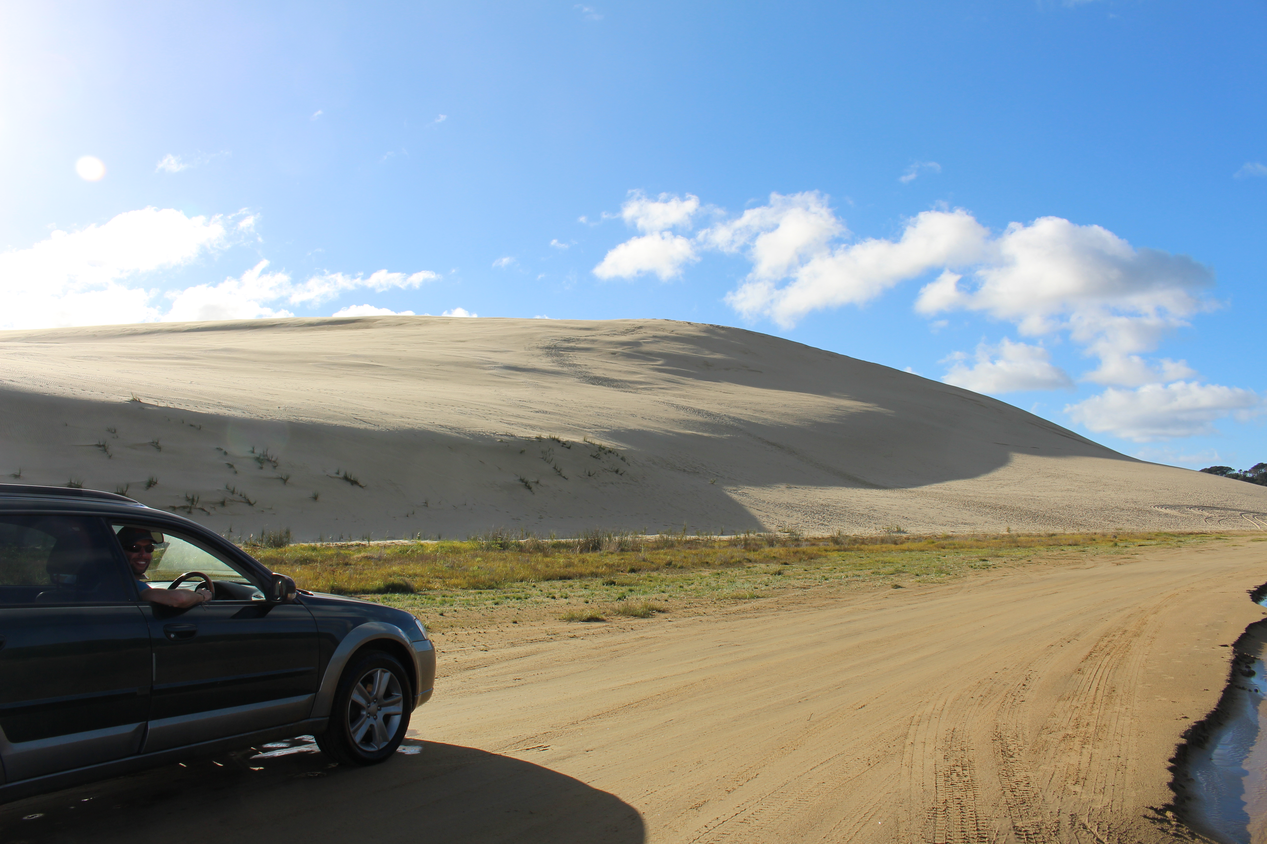
Oh… and of course you have to take the car for a bit of a spin too!
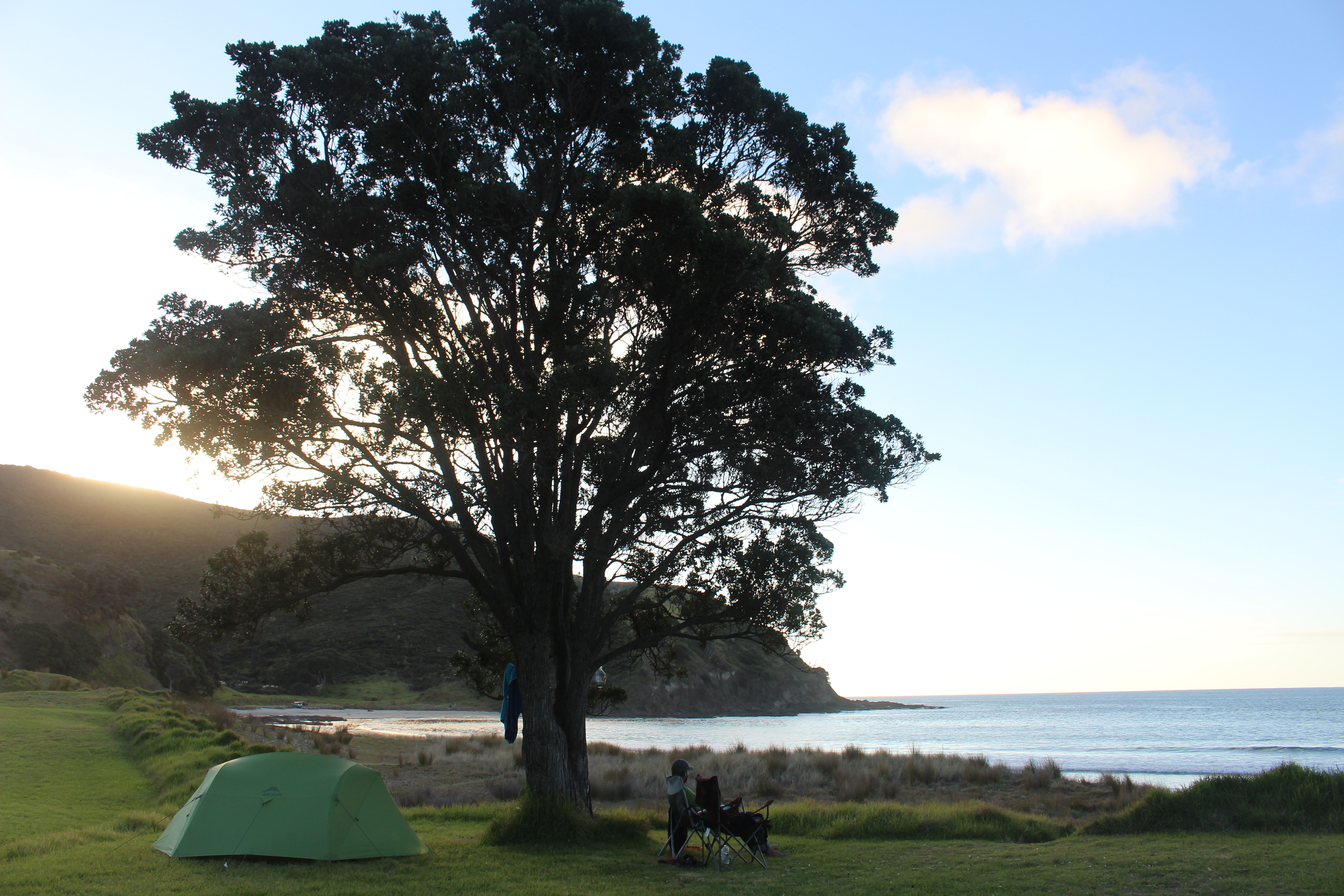
This is what you call a ‘perfect’ camping spot!
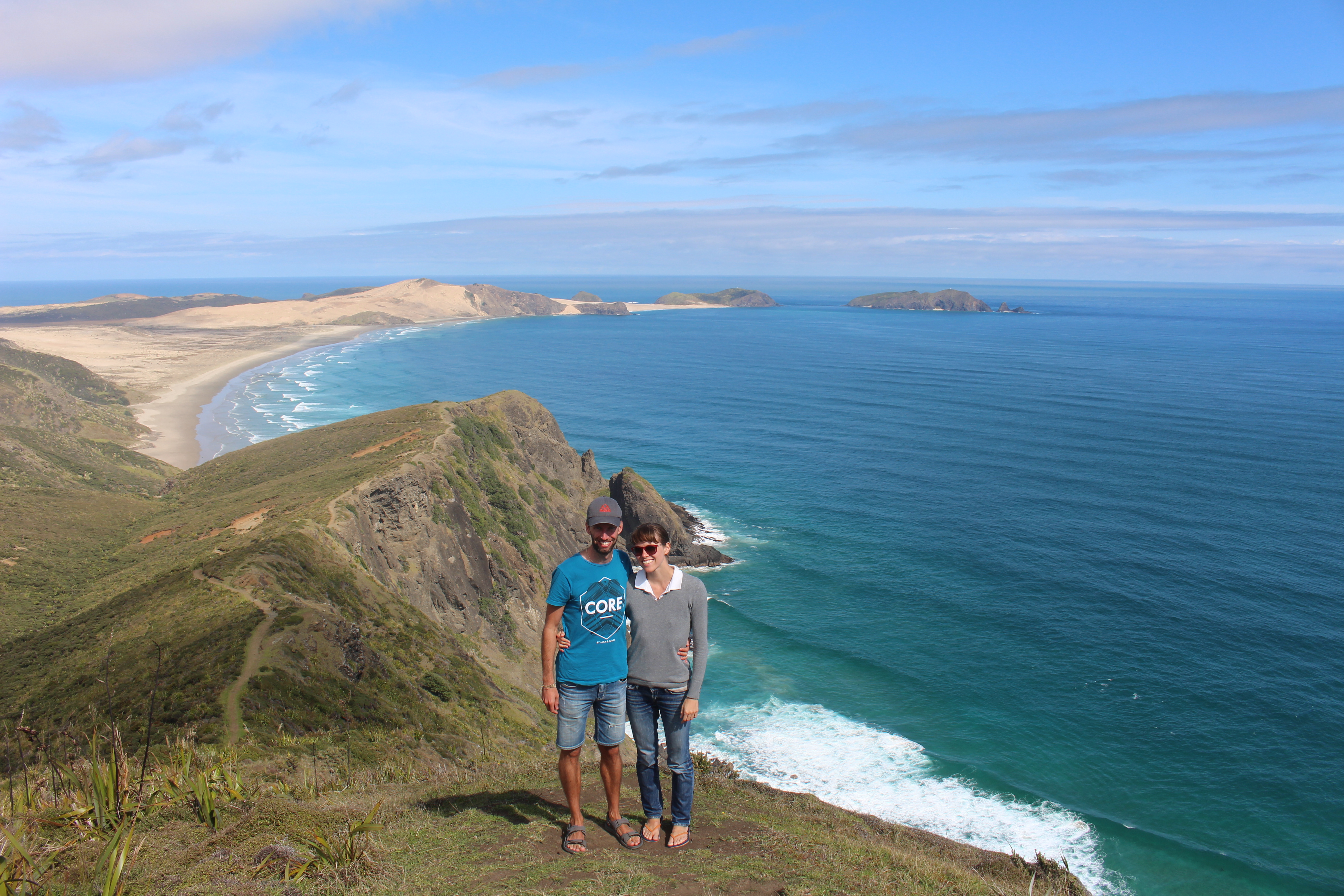
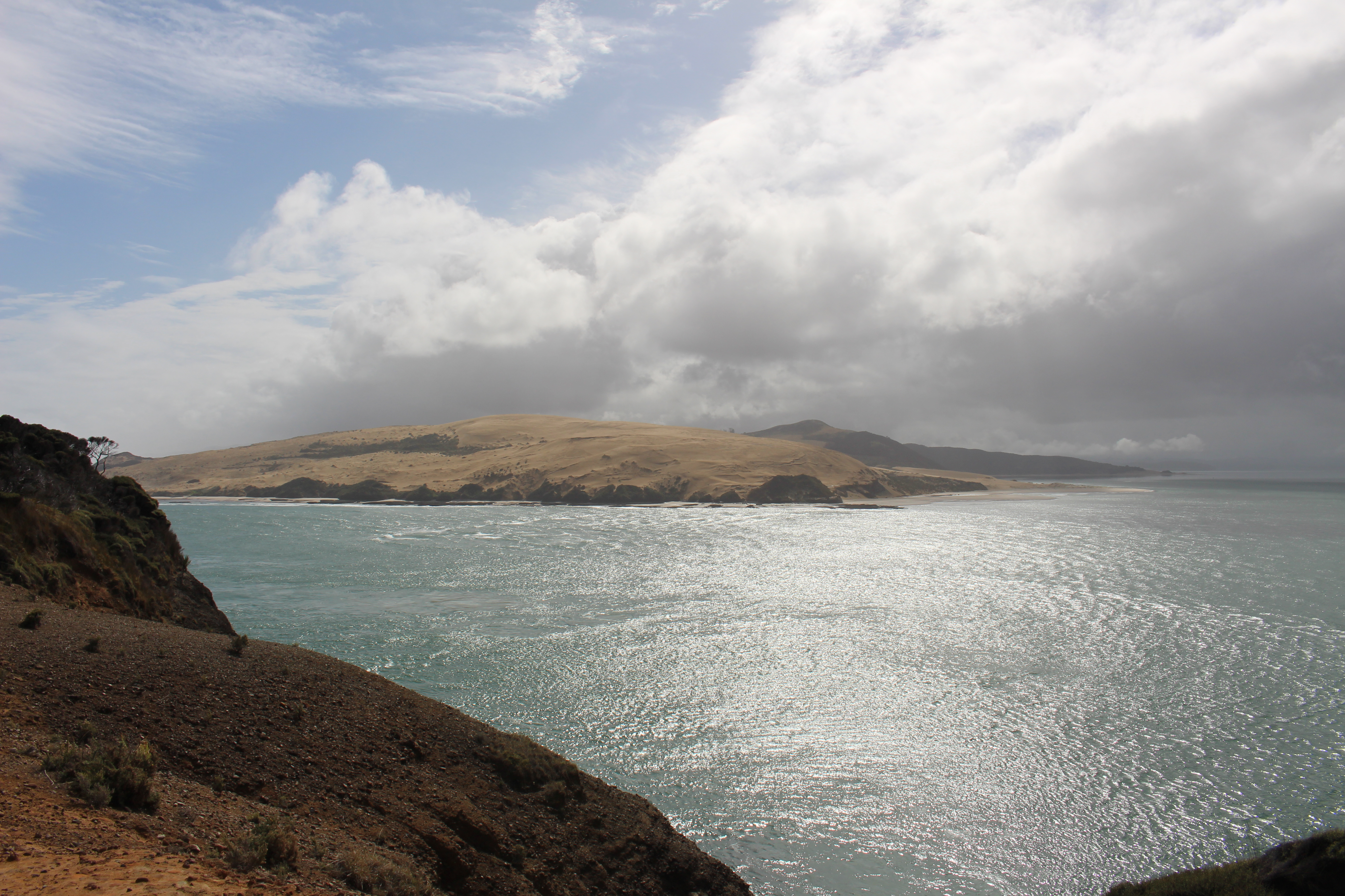
The next day after an early morning swim in the ocean we drove 15 minutes up the road to do the Cape Reinga lighthouse walk. From the Cape Reinga lighthouse we had impressive panoramic views to the west of Cape Maria Van Diemen, a series of sand dunes which also mark the most western point of the north island. To the north west we could also see Three Kings Islands (which are actually a series of 13 islands) in the distance. The Dutch explorer Abel Tasman discovered the island on Twelfth Night (6 January 1643) while looking for water and named them after the Three Wise Men from the Bible. The islands were inhabited by Maori when Tasman discovered them but were no longer inhabited when more Europeans started arriving in New Zealand around 1840. The islands are now a wildlife sanctuary.
At the northernmost tip of Cape Reinga you can see a gnarled pohutukawa tree, which is believed to be over 800 years old. In Maori oral history the tree is significant as it is from here that the spirits of the dead are believed to pass through before making the journey back to Hawaiki which is the ancestral homeland of Maori.
The most impressive sight for me however was the sight of the Pacific Ocean and the Tasman Sea merging together. You can clearly see the violent swell from the two oceans crash together, massive waves and sea spray going everywhere. A beautiful but brutal sight!
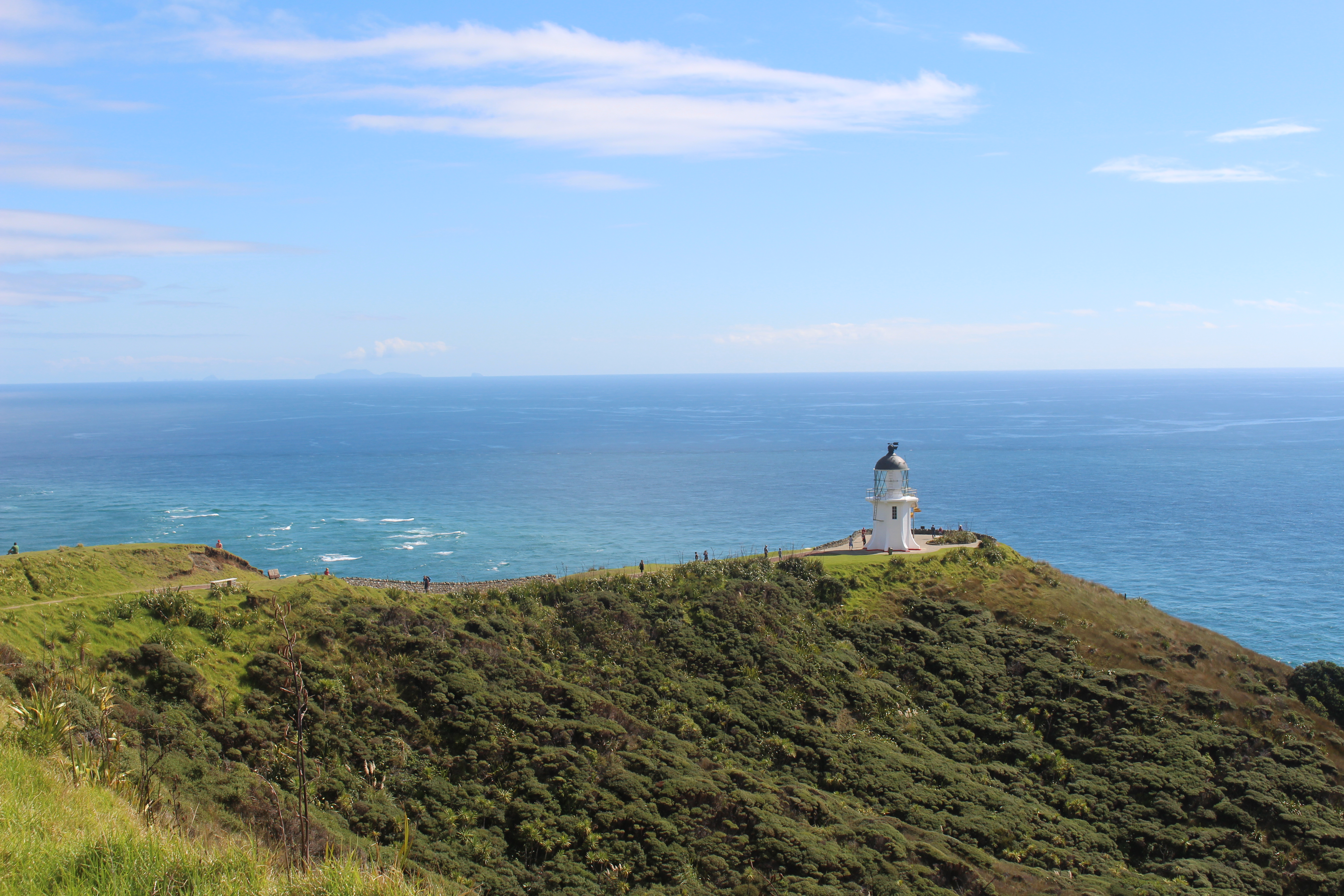
Cape Reinga lighthouse.
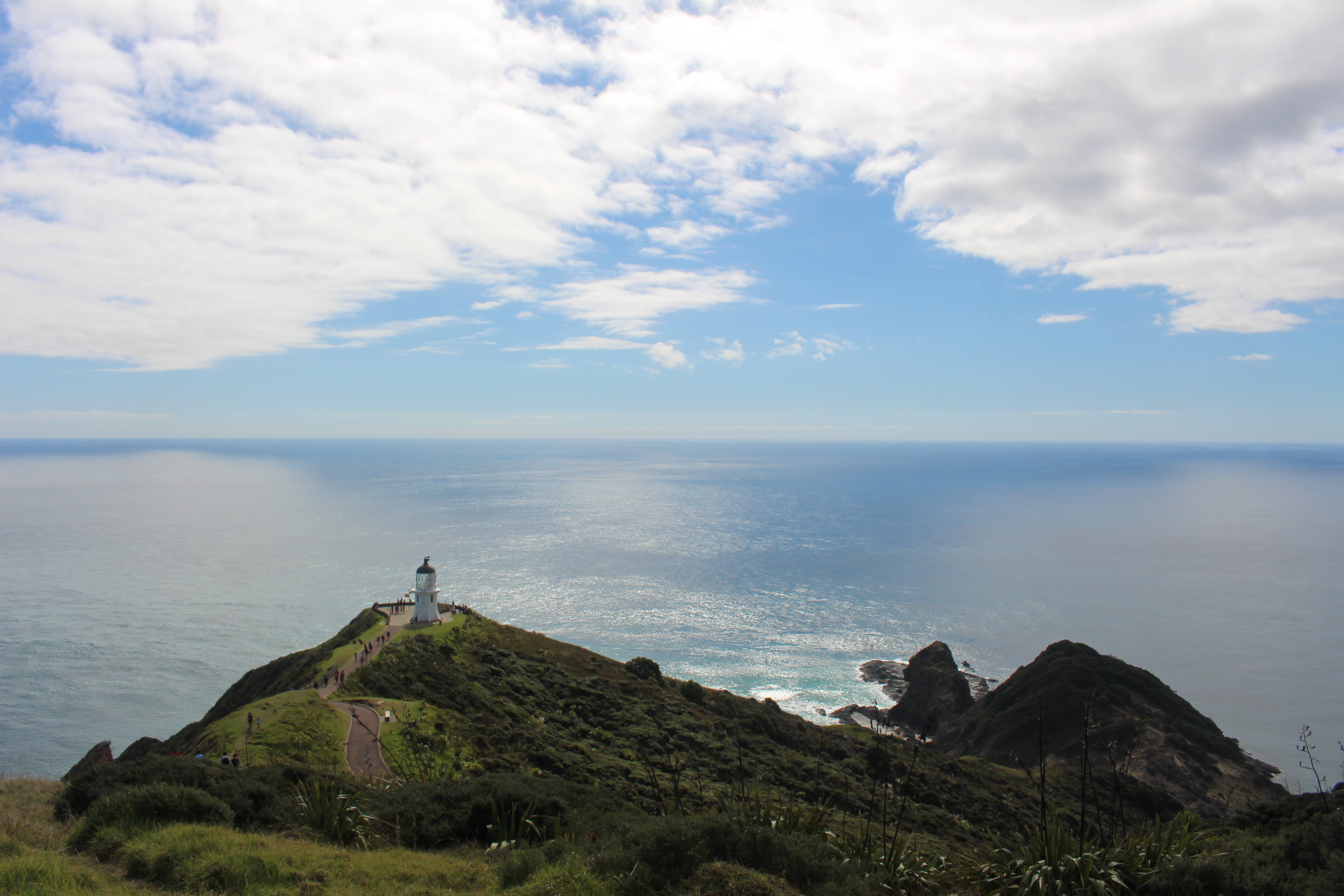
Cape Reinga lighthouse in the distance. The meeting of the Tasman Sea and Pacific Ocean in the background.
Cape Reinga
In the afternoon we took it easy on the campsite, lounged around, read a bit and had a couple of walks on the beach. Our neighbours, a funny outgoing couple from Piha (west Auckland beach village) invited us to join them for a few drinks so we sat outside under the starry night sky chatting with them. It was a nice night but we were all a bit chilly as it was the end of the summer season. We were amused when our neighbours paused our conversation to change into ‘onesies’.
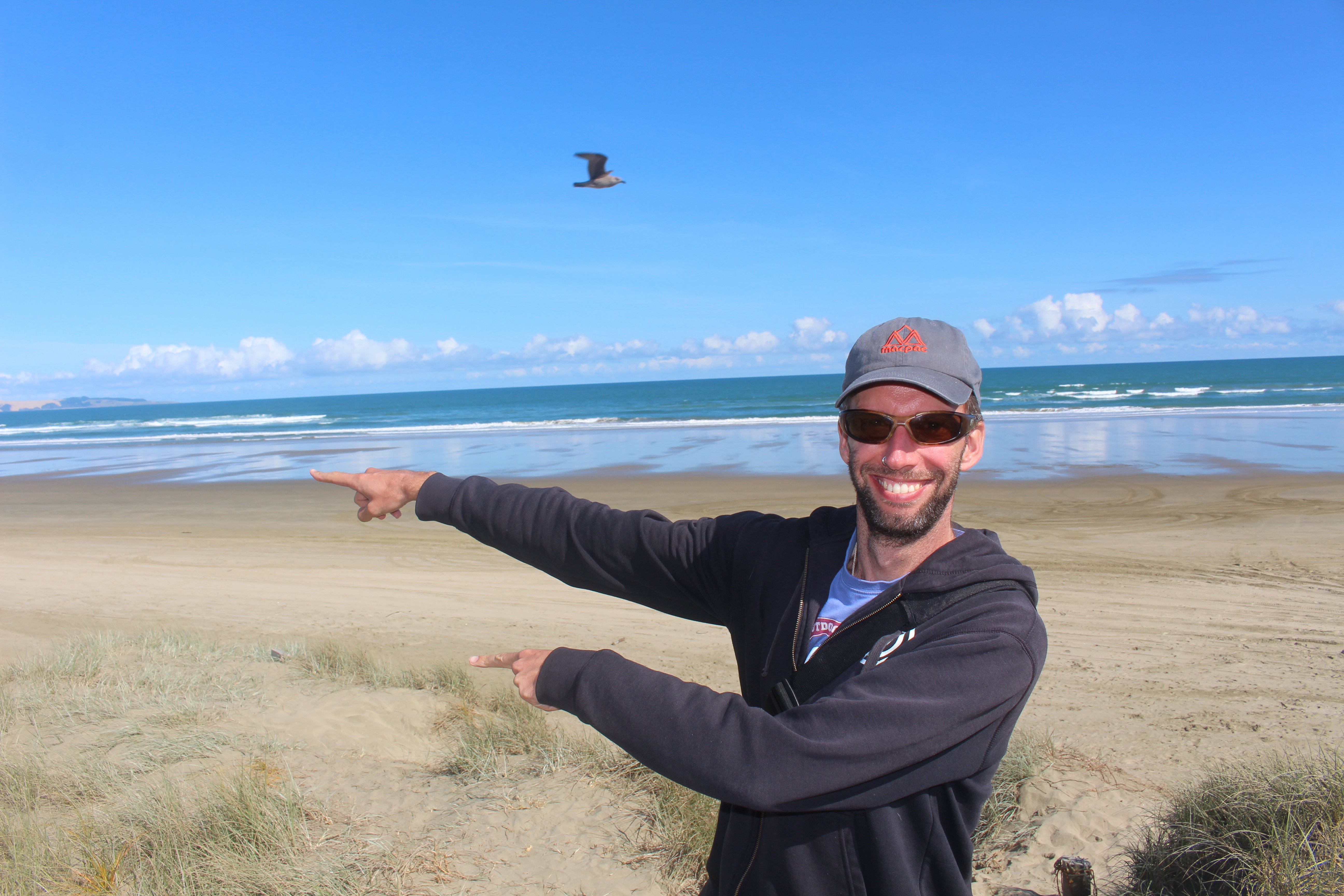
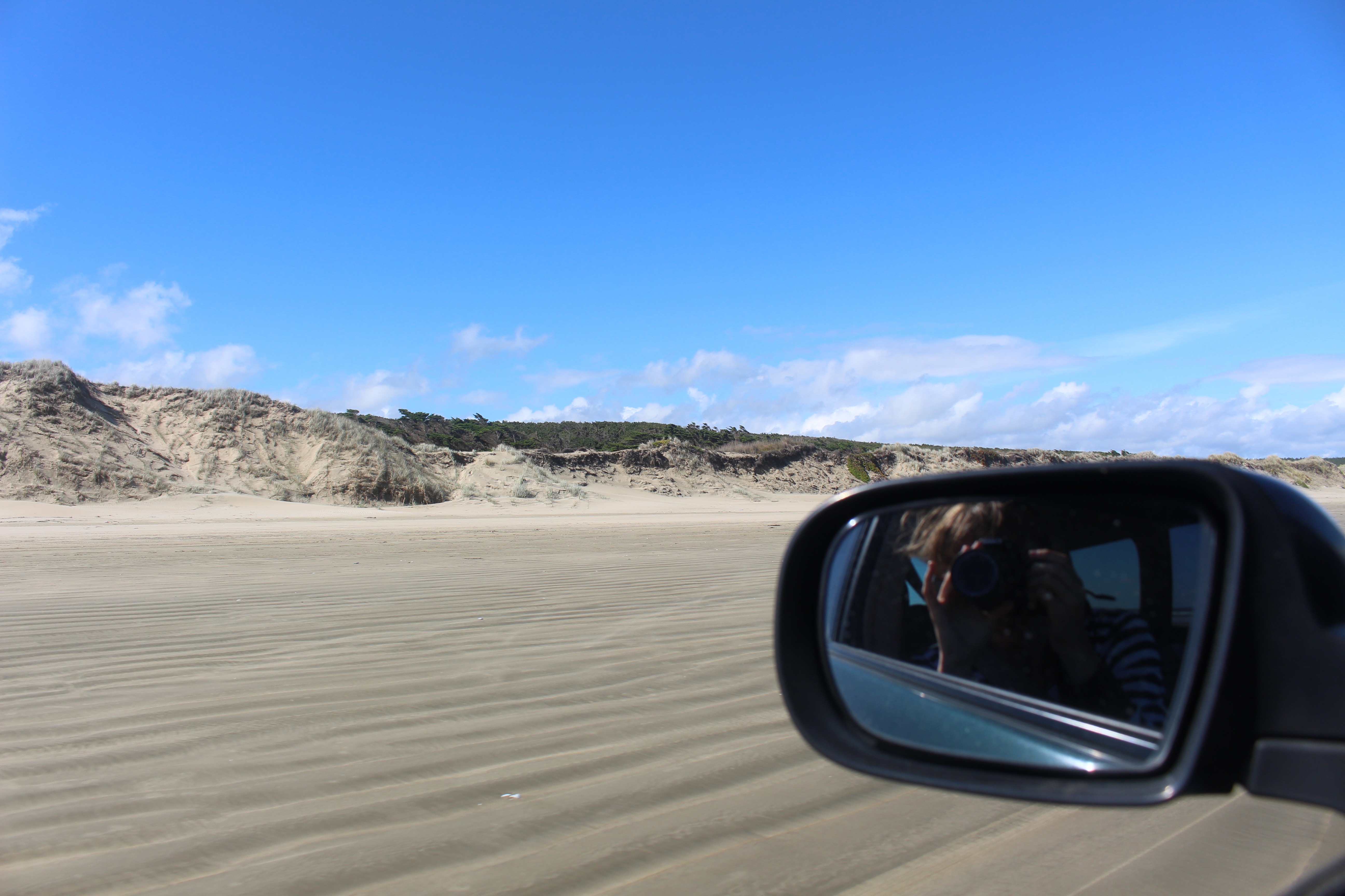
The next day we packed up camp and drove down some of 90 Mile Beach. It was fun to take the Outback offroad and drive along the beach. Before doing so we had a fun chat with the coffee truck owner while he made us hot chocolates. He had his finger on the pulse and was making money in very thrifty ways: pulling up old kauri trees from his swampy land to make money off the wood and gum, driving down to the west coast of the South Island (a massive journey) to go fishing for tuna to sell to Japan and then of course the coffee stall on 90 Mile Beach. What a character!
Richard is all ready to get going for the drive down 90 Mile Beach.
While driving down the beach we came across a quad bike accident. A 50-something year old man had crashed a rented quad bike over the dunes and was in a lot of pain. His wife had sent a friend back to Ahipara a small village up the road to get an ambulance but because they were on the beach and far away from the road the ambulance would only send a ute to get him. They had no cellphones on them so Richard loaned him his while the wife called with the friend back in Ahipara. Eventually help arrived and we went on our way but this was a reminder of how dangerous quad bikes are.
View down 90 Mile Beach.
Rolling down the sand, fun!
From Ahipara the countryside became more isolated. The scenery changed as the car wound its way through the twists and turns of the west coast’s windy roads until we arrived at the little village of Kohukohu on the Hokianga harbour.
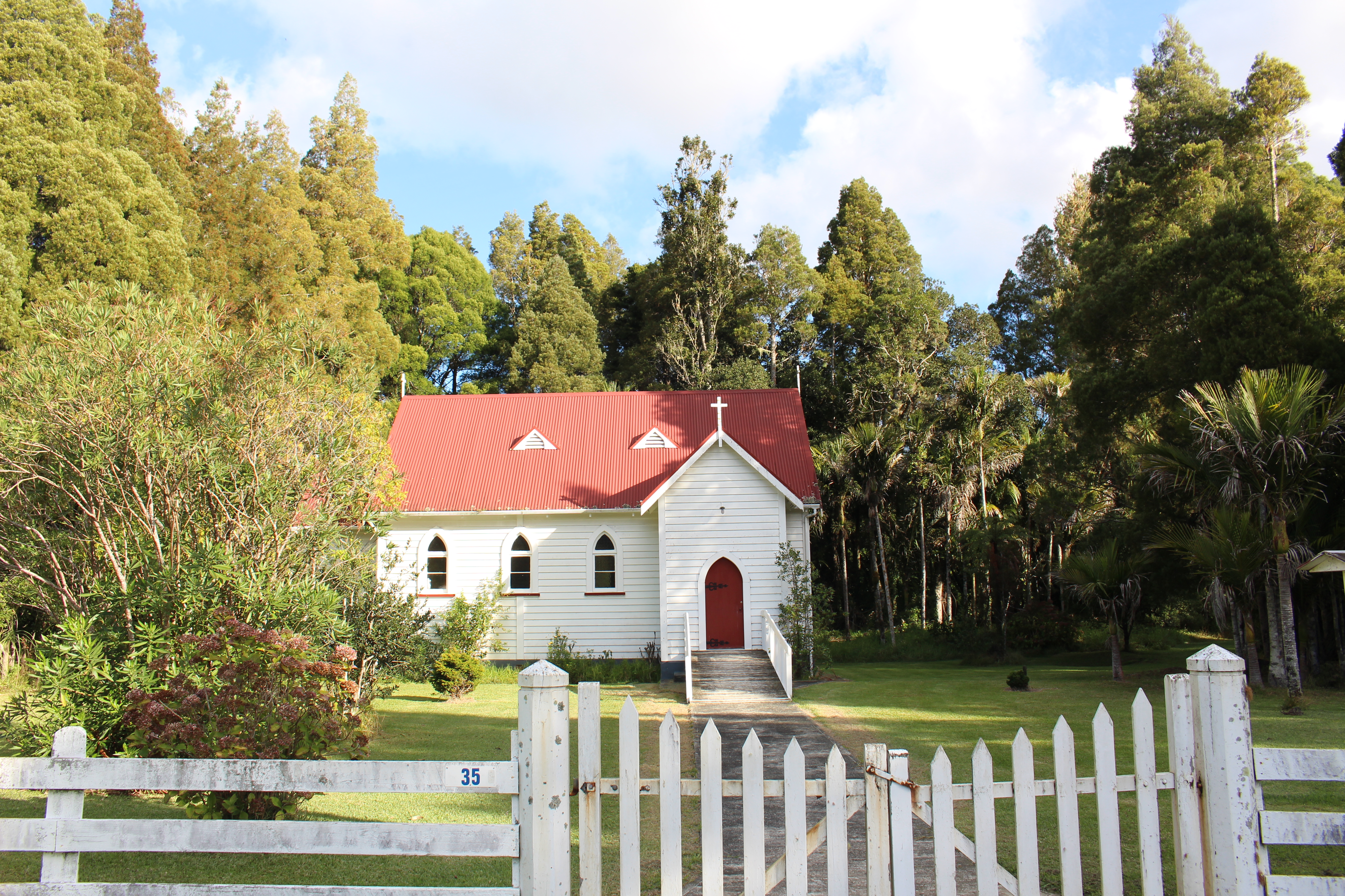
Cute church in the middle of nowhere on our way to the Hokianga.
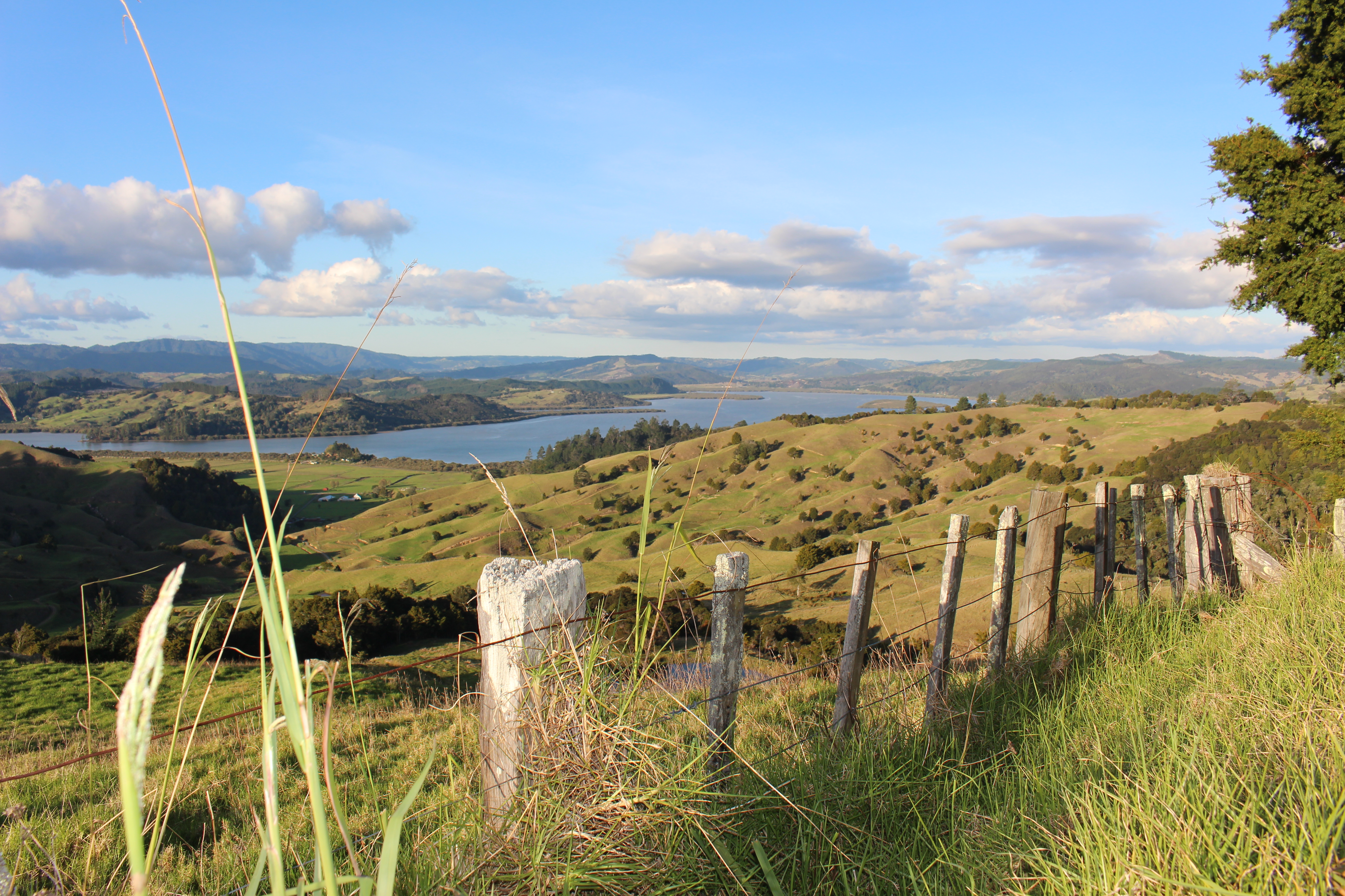
Some gorgeous looking countryside overlooking the Hokianga.
We stopped and had a look at Kohukohu and thought ‘yep, this is cute’ and decided that this was the area we wanted to bunk down for the night. We had heard Rawene, a 10 minute ferry trip across the harbour was equally as cute and so decided to head there for the night. It turned out that Rawene was equally as cute and picturesque. We found the campsite, set up our tent while under attack by a tornado of sand flies, had a quick glimpse at the sun setting over the picturesque Hokianga harbour and then heard our tummies rumbling. After a few days camping we found we’d eaten all our food stocks so decided to see what the local pub (think locals only deep country pub) had to offer. Because it was a Friday night it turned out that it was all on. All the locals were down at the pub, having a few drinks. We ordered typical pub grub meals, a couple of ciders and sat back and enjoyed the good vibes. The locals were curious about us and ended up striking a conversation with us. When Richard told them that I am partly Maori we were welcomed to the locals table as they needed to know which tribe I’m from and then I needed to do a Hongi with them. It was welcoming and a lot of fun!
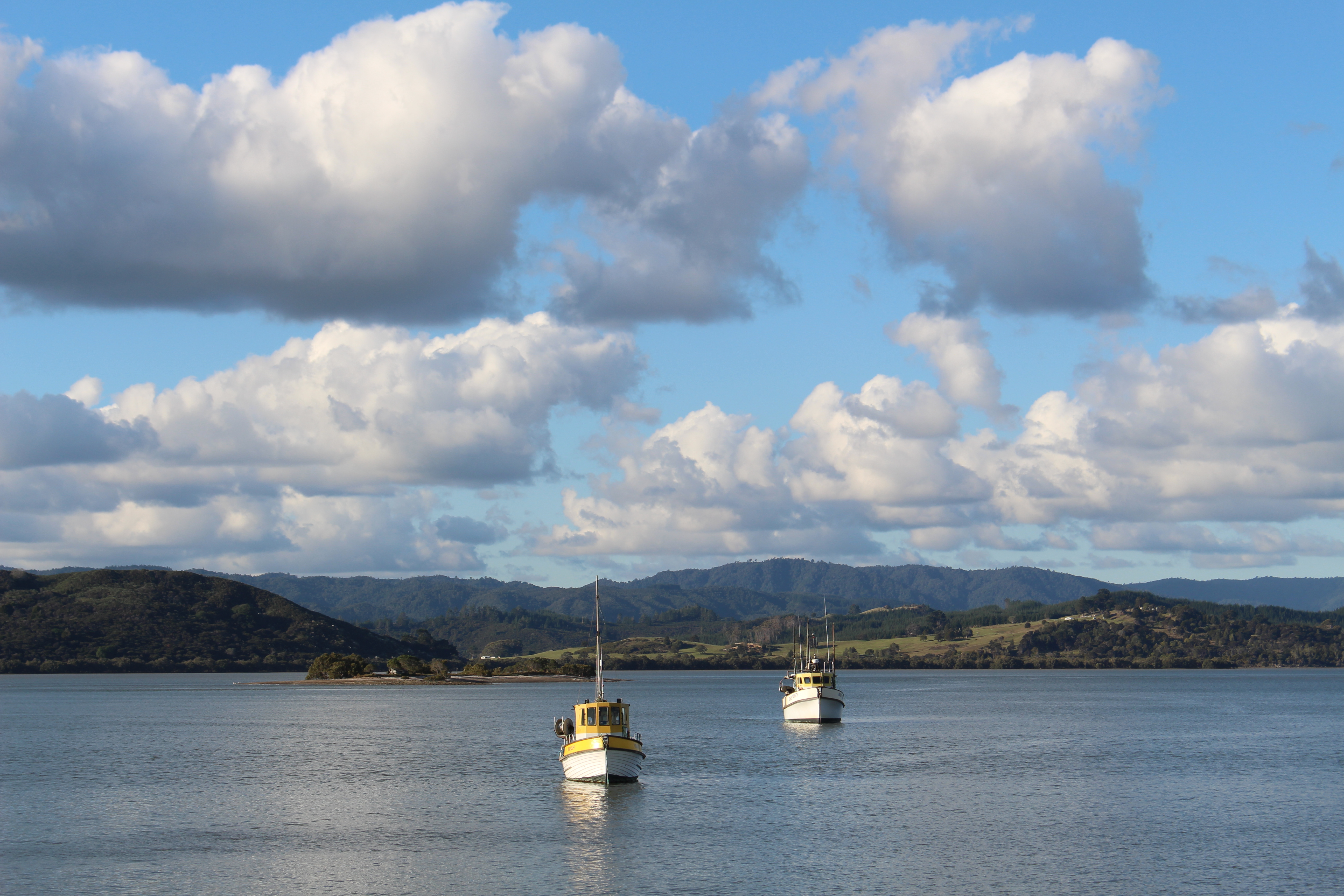
Hokianga harbour on Kohukohu side of the harbour.
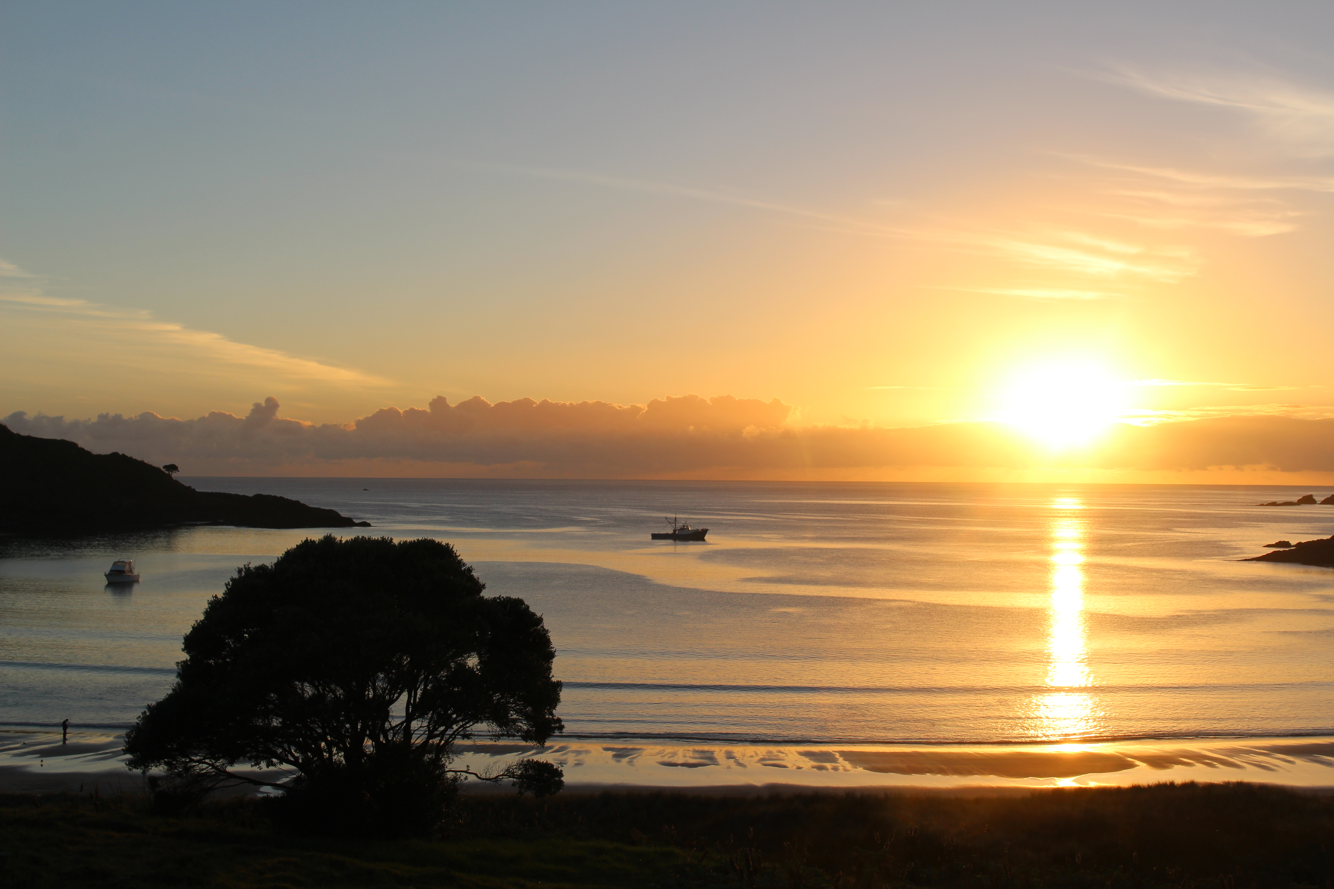
Sunset over the Hokianga, we captured this just after setting up the tent. Perfect timing!
The next day we drove to the mouth of the Hokianga Harbour and did a walk around the cliffs looking down on the harbour. Then the skies opened up and it started raining for the rest of the day so we decided to move on. From there we cut across from the west to the east coast via a series of back country roads and arrived in Whangarei for our last night on the road. We spent our last night in a motel, where we didn’t do too much, just relaxed in the motel, went for dinner and had a wander around.
A wet rainy morning in Rawene on the Hokianga harbour.
Wet and rainy morning called for a breakfast out at the boatshed cafe in Rawene. Awesome mushrooms!
The mouth of the Hokianga harbour.
We left Whangarei early the next morning to try and beat the traffic heading back into Auckland which worked like a charm. We had a smooth quick trip back into Auckland and arrived back with just enough time to head to the La Cigale market in Parnell, which is just around the corner from our house. Here we picked up organic oranges and drank a couple of fresh smoothies in what felt like the last of the summer sun. It was a relaxed end to our Northland road trip which was to be our last road trip away for a while.
Darcy Mellsop liked this on Facebook.
So pleased to see the sand dunes! I’ve not seen them since I was a kid, great to see them again. Nice read, I learnt a lot and was reminded of a lot. But Julia, I didn’t know that you were part Maori? What’s your tribe. My kids are Ngati Tuwharetoa (Taupo)
Ilse Versteeg liked this on Facebook.
Hey Darcy, thanks! 🙂 I’m Te Ati Awa and Ngati Porou. 🙂 INorthland is such a beautiful area. You should take the kids sandboarding there, I bet they’d love it!
Natasja Kuipers liked this on Facebook.
Such a nice post guys, reminds me of the same trip we did a few years back. However, I still have to see the Bay of Islands without rain as it has done every time I have been there!
Thanks Brigette! We did catch a bit of rain here and there but overall it didn’t disrupt our plans too much. Hopefully next time you go to the Bay of Islands you’ll see it without rain. 🙂
Always a good read – loved the bit about the hongi !
Haha, thanks Kaye. It was pretty priceless!
that’s such a great idea 🙂
Hi there!
Thanks for publishing this great piece.
It’s difficult to find https://wplnkwptstnad.com detailed information on this matter these days, but your analysis covers everything perfectly.
I really like the effort you put into organizing this information.
Can’t wait for your future updates!
Alright, so I dipped my toes into Houseofluckcasino. It’s got a classic casino vibe. Maybe Lady Luck will smile on you over at houseofluckcasino!
Just hopped onto 666pgame. Seems legit. The site runs well and the options are pretty standard. Wishing for some great luck! Visit them at 666pgame.
Yo, 677betlogin, just gave it a shot! Smooth site. Depositing was quick, and I was playing in minutes. Seems legit so far! Worth checking out, ya know? Click here: 677betlogin
Another vote for ketqua net 4. Reliable and straightforward. No bells and whistles, just the results you need. Gotta love that ketqua net 4.
Honestly ketqua.net 7 just works. That’s all I need. No fuss, just results. Perfect for a quick check ketqua.net 7.
Been using 3 ketqua net for a while, it’s an ok site for checking results. Nothing special but it gets the job done quickly. Worth checking out 3 ketqua net!